


WEST PALM BEACH, Fla. — Clouds stick around tonight and it will feel a bit muggy. A quick, passing shower is also possible. Fog develops after midnight stretching across inland communities with patchy areas of dense fog through the early morning hours.
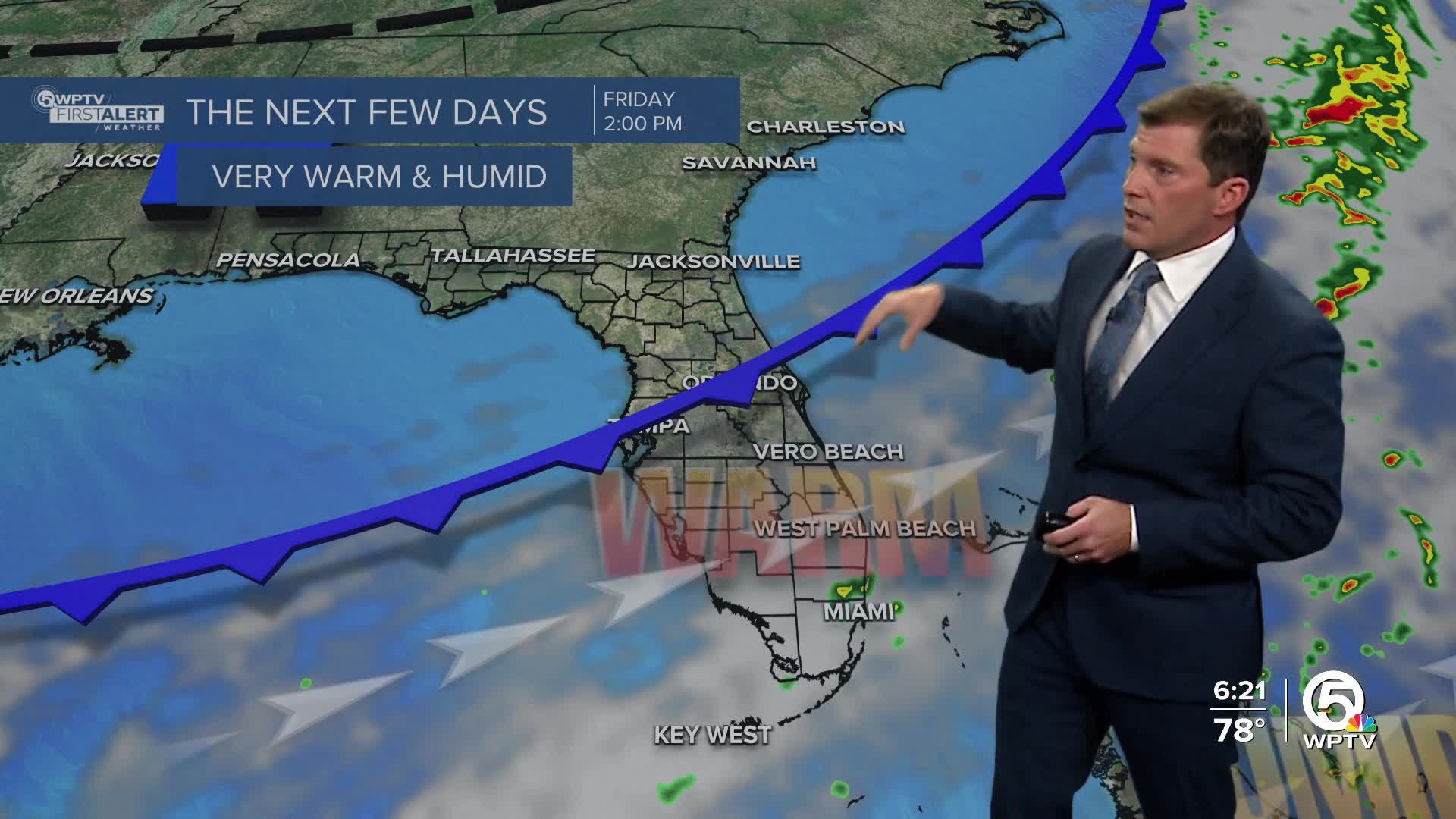
A weakening front moves through the region on Friday, bringing little change other than a shift in wind direction from southwest to west-northwest. Drier air along with some sunshine slowly works in during the afternoon.

Friday stays warm, with highs in the mid-80s. Slightly cooler air arrives overnight with temperatures falling into the low-mid 60s by Saturday morning.
MORE WEATHER: Radar | Alerts | 7-Day Forecast | Hourly Forecast
For the weekend, high pressure builds in and brings generally dry and seasonable weather. Winds turn east-northeasterly, and while most areas stay dry, a brief light shower is possible at times along the east coast. Highs will range from the lower 80s near the coast to the mid-80s inland.

Early next week, a weak front may approach the area, increasing breezy easterly to northeasterly winds. A few passing showers will be possible, especially along the east coast, with temperatures remaining near normal for late December.
Boating conditions improve Friday and through the weekend, but a moderate rip current risk persists for our beaches. Onshore winds will increase next Monday and Tuesday which will most likely cause small craft and rip current concerns along the coast.


