


WEST PALM BEACH, Fla. — As high pressure moves east across the area, we'll see unseasonably warm temps and very low end rain chances.
Our winds veer easterly on Tuesday and southeast on Wednesday. This will bring in just enough moisture to see a brief, isolated shower near the coast - but not the kind of significant rain that will help us get out of our severe drought.
MORE WEATHER: Radar | Alerts | 7-Day Forecast | Hourly Forecast
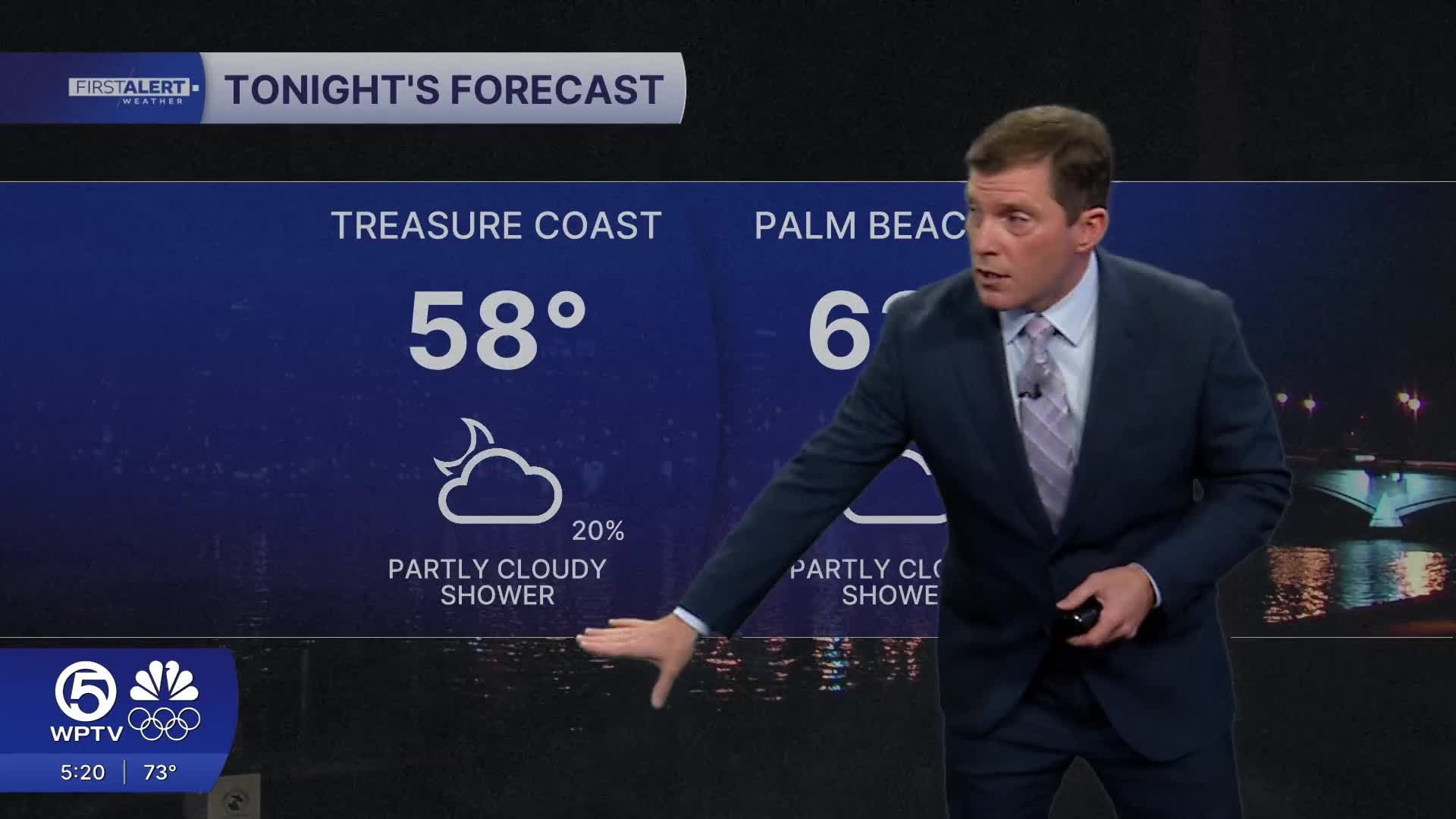
Lows tonight will dip into the high 50s along the Treasure Coast and in the low 60s at the Palm Beaches.
Skies will be mostly sunny Tuesday with some quick-moving clouds on the beach breeze.
It will be a bumpy day for boaters with 4-6 feet seas and winds gusting to 20 kts. A high risk of rip currents combined with the surf will make it a dangerous day for ocean swimming.
Starting Wednesday, we are back into the southeasterly flow, bringing warm air to our area. Temps will warm into the 80s for the Palm Beaches.
Our quiet weather continues into the weekend with warm and dry conditions.


