

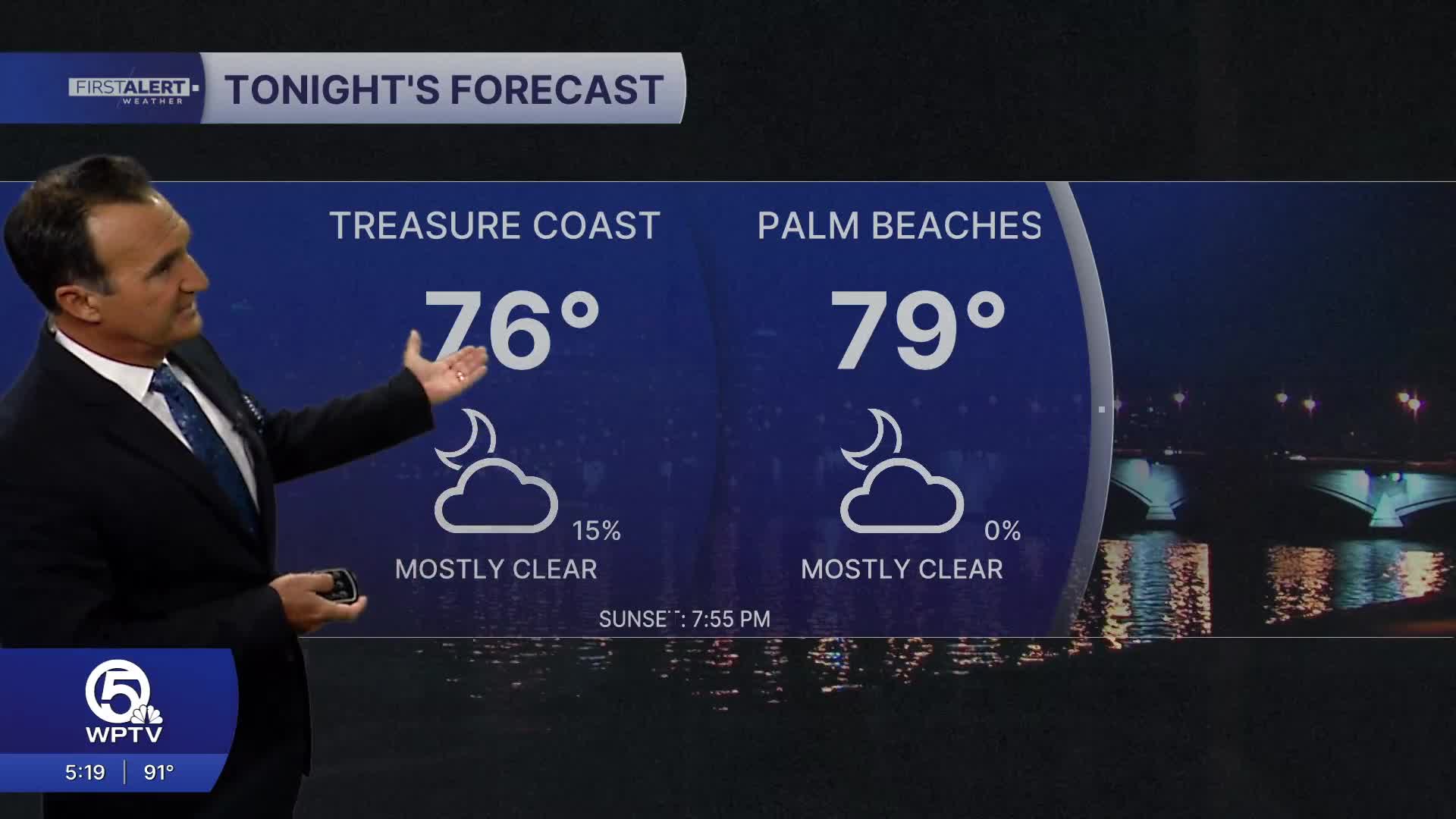


WEST PALM BEACH, Fla. — An intense heat wave is moving into the Treasure Coast and Palm Beaches, bringing temperatures in the mid-90s and possibly reaching 96 degrees or higher. This isn't just typical August weather — the mix of extreme heat, high humidity, and few storms will make conditions feel dangerously hot.
MORE WEATHER: Radar | Alerts | 7-Day Forecast | Hourly Forecast
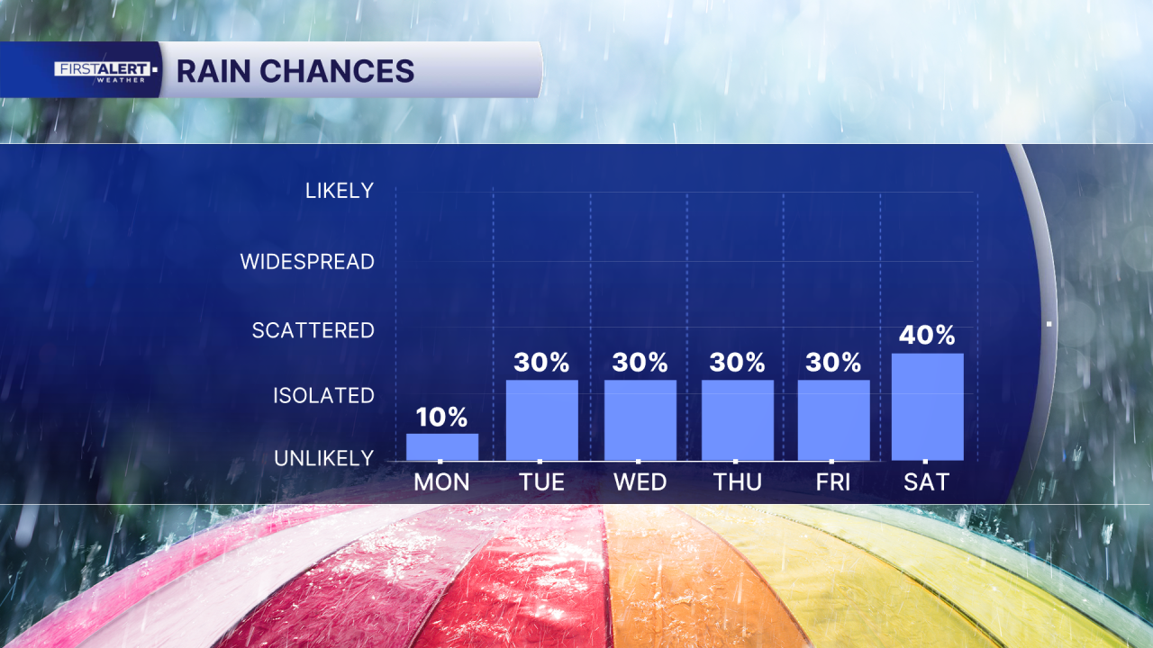
Tuesday could break daily temperature records, with highs potentially reaching 95-97°. Several locations may tie or break their all-time highs for the date. The heat index will again climb to dangerous levels during the afternoon. Any storms that develop will only provide brief, very localized cooling.
Wednesday continues the brutal pattern with highs around 94-96 degrees. High humidity will make it feel like 105-110 degrees again. A few afternoon storms are possible, but the heat remains the main story.
Thursday through the weekend, temperatures will stay well above normal in the lower to middle 90s. Even if we see more storms, the humidity will keep conditions feeling oppressive. Overnight temperatures will only drop to 78-81°, offering little relief.
With actual temperatures in the mid-90s and heat indices near 110 degrees, heat advisories will likely continue. Take this heat seriously, especially between noon and 6 p.m. Limit outdoor activities, drink plenty of water, and take frequent breaks in air conditioning or shade.
Portions of this story were assisted by artificial intelligence tools and reviewed by WPTV journalists to ensure accuracy, clarity, and adherence to editorial standards.


