


WEST PALM BEACH, Fla. — All eyes are on the tropics right now and rightfully so. We're monitoring two systems in the Atlantic, Invest 94L and Tropical Storm Humberto.
Humberto doesn't look like much of an east coast threat even though it will end up being the stronger of the two storms.
MORE WEATHER: Radar | Alerts | 7-Day Forecast | Hourly Forecast
Interests in the Bahamas should monitor the forecast closely though as we head into this upcoming weekend and the first part of next week.
As for Invest 94L, right now it's an unorganized cluster of downpours and thunderstorms moving over the Dominican Republic. It will be getting better organized over the weekend as it lifts northwest and passes through the Bahamas about 180 miles east of West Palm Beach.
At that distance, a feeder band could brush the I-95 corridor with downpours and thunderstorms. But that should be the extent of it.
If the storm shifts farther west, closer to Florida, we may have to contend with tropical storm force winds too. But as of right now, none of the guidance is showing that.
Invest 94L (soon to be Imelda) could make landfall in South Carolina or Georgia early next week.
7 Day Forecast
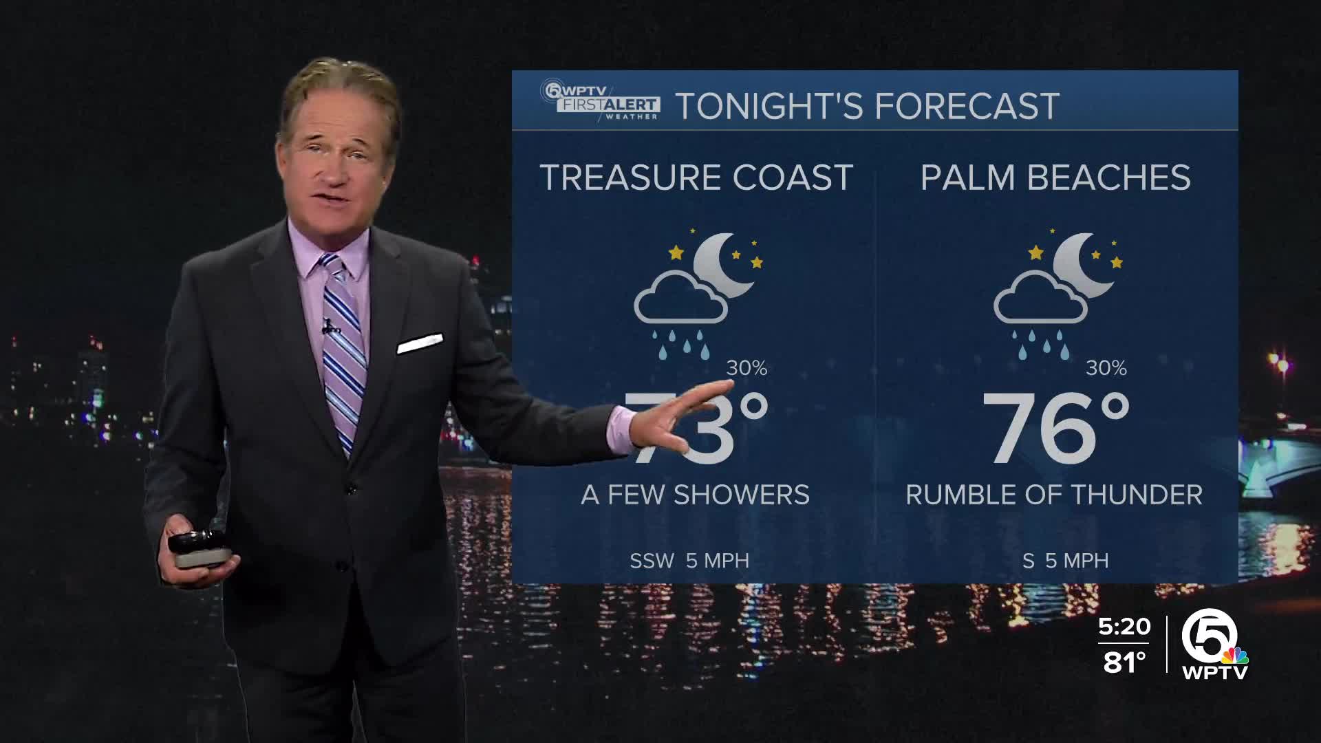
Tonight: Partly cloudy and muggy with a spotty shower. Low 74-77.
Friday: Hot and humid with afternoon downpours and thunderstorms. High 91. Heat Index 101.
Saturday: This should end up being a quieter day overall. There's still the chance of a spotty shower or thunderstorm, but nothing widespread. Hot and humid otherwise. High 90.
Sunday: Watching Invest 94L. The I-95 corridor may see a few downpours and thunderstorms as the feeder bands pass by. High 90.
Monday: A drier day! Mostly sunny and hot. Not as oppressively humid though. High 90.
Tuesday: This also looks like a fairly dry day. Mostly sunny and hot. High 89.
Wednesday: Mostly sunny and very warm. A spotty shower or thunderstorm is possible. High 88.
Thursday: Mostly cloudy with scattered thunderstorms. High 86.


