



WEST PALM BEACH, Fla. — TONIGHT: Showers and thunderstorms will remain possible through the evening and overnight hours, especially along the coast.
MORE WEATHER: Radar | Alerts | 7-Day Forecast | Hourly Forecast
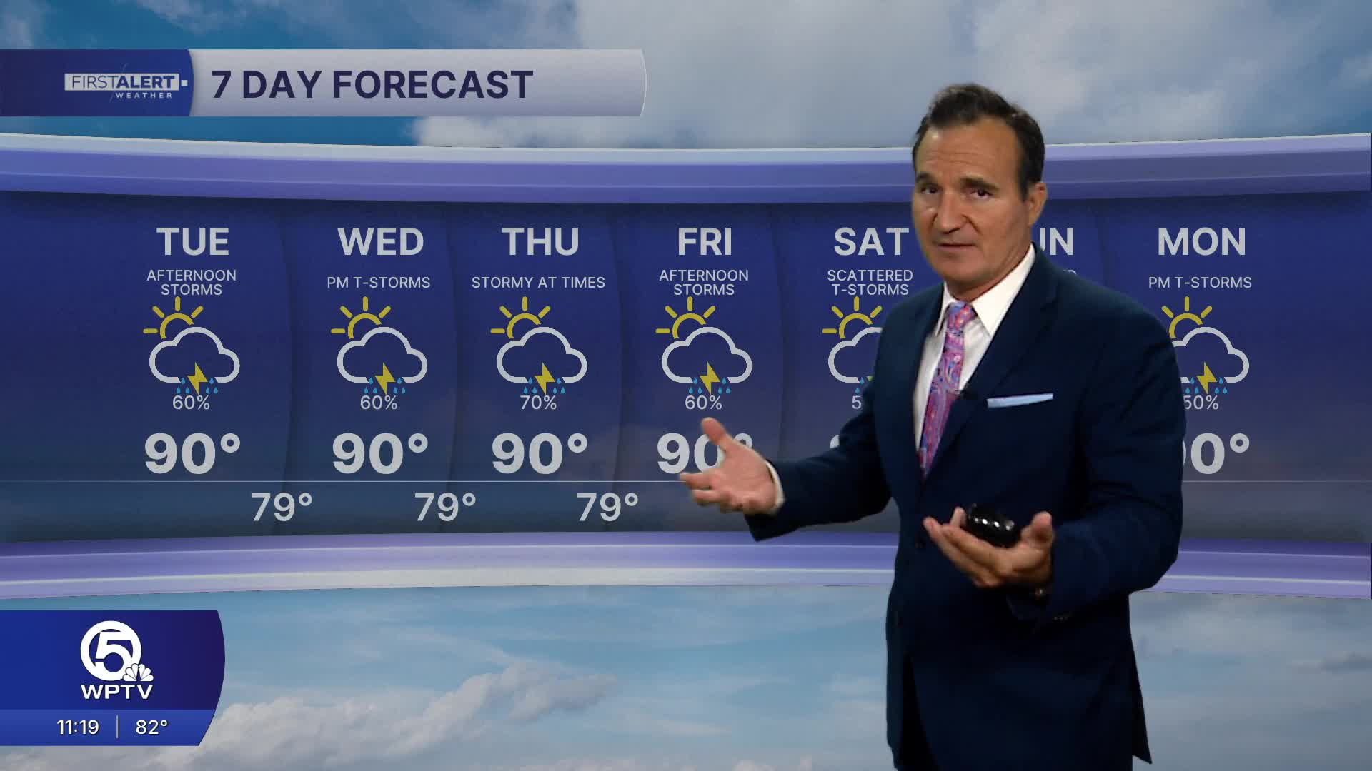
TUESDAY THROUGH THURSDAY: Rain chances stay high with a mix of sun, clouds, showers and thunderstorms each day. The heaviest rain is most likely from late morning through the afternoon. The Treasure Coast and Palm Beaches could see frequent downpours instead of the more isolated storm pattern typical of drier periods. There is a level 1 marginal risk for excessive rainfall that could lead to some flooding.
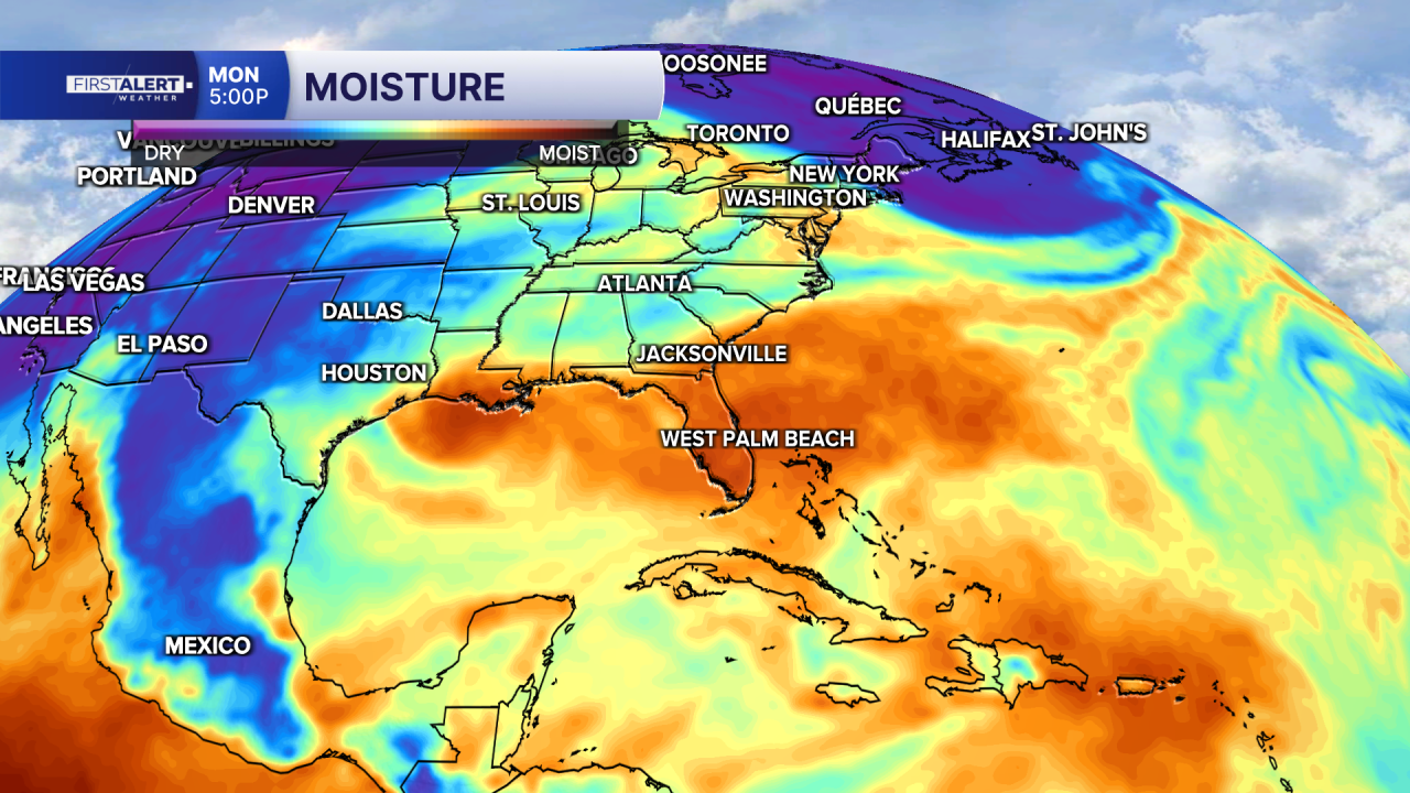
FRIDAY INTO THE WEEKEND: Another very wet stretch is possible. Deep tropical moisture will continue to stream in and fuel storms capable of producing heavy rainfall.
RAINY SEASON OUTLOOK: This pattern is beginning to look more like a sustained return to the rainy season rather than a brief uptick in storms. High humidity, tropical moisture and onshore winds will keep rain chances elevated through the week.
**Portions of this story were assisted by artificial intelligence tools and reviewed by a WPTV journalists to ensure accuracy, clarity, and adherence to editorial standards.


