
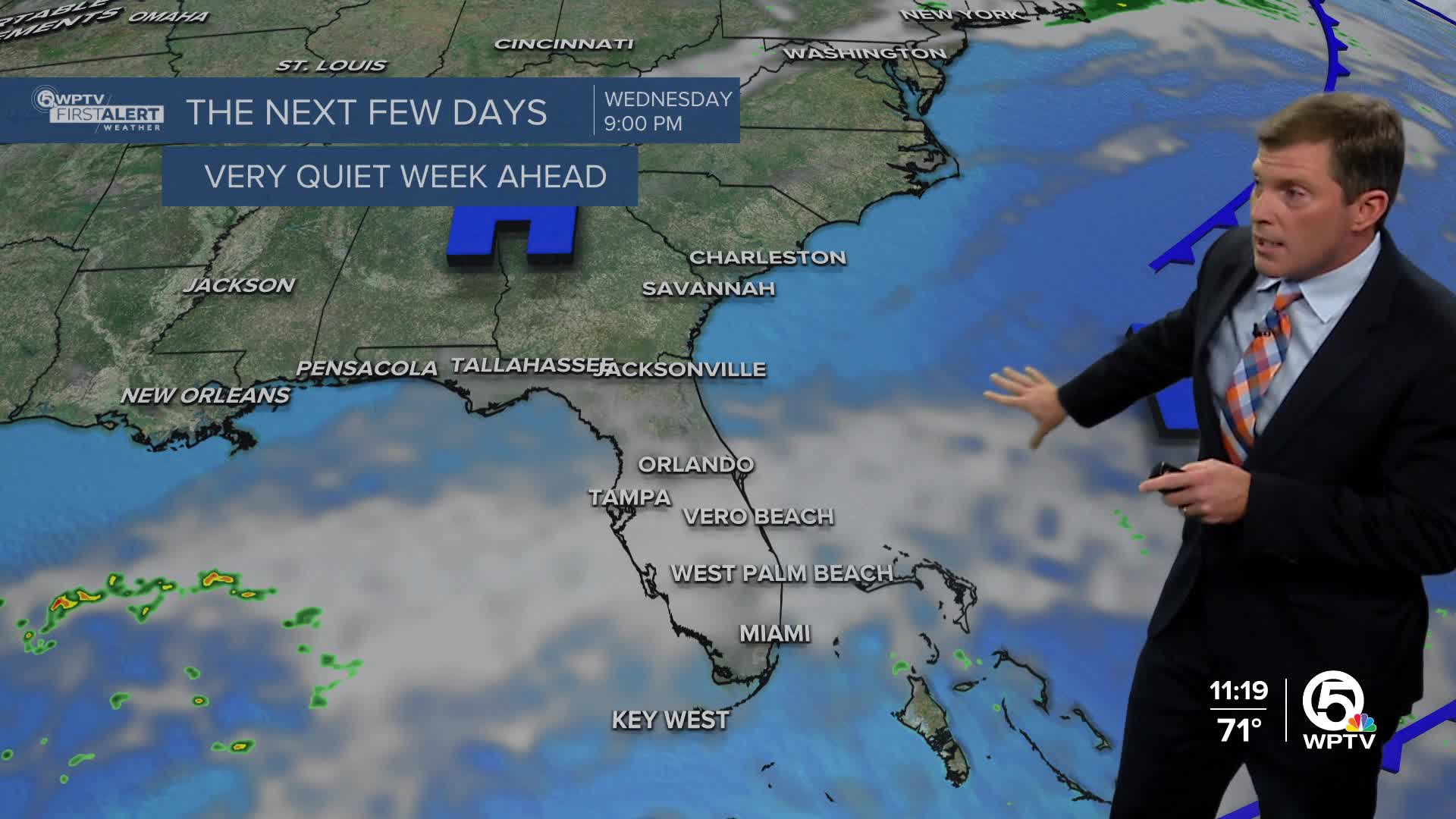


WEST PALM BEACH, Fla. — A strengthening high-pressure system is settling over southern Florida, while a cold front is making its way south through the state.
Expect a chance for an early rain shower, then as this front moves in this afternoon, we're expecting a return to dry conditions that should stick around through tomorrow. This front will not be as strong as the one that we had on Halloween.
MORE WEATHER: Radar | Alerts | 7-Day Forecast | Hourly Forecast
Behind the front, it will mostly be a breezy day late today and tomorrow, with winds quickly turning onshore out of the northeast then east. There will be small craft advisory conditions and a high risk for rip currents along the coast.
Highs to be in the mid-80s across most of South Florida. After the cold front passes, highs will drop into the low 80s on Tuesday, and the humidity will also drop. Overnight lows will vary, ranging from the low 60s in areas around and north of Lake Okeechobee to the low 70s near the Atlantic coast.
Looking further ahead, the winds are expected to stick around on Wednesday, keeping temperatures steady in the low to mid-80s. We might see some cloud cover and a potential shift in moisture as an area of mid-level disturbance drifts eastward across the Gulf.
This could lead to a higher chance of rain returning to the forecast later in the week and weekend. So, stay tuned as we keep an eye on these developments!
**Portions of this story were assisted by artificial intelligence tools and reviewed by a WPTV journalist to ensure accuracy, clarity, and adherence to editorial standards.


