
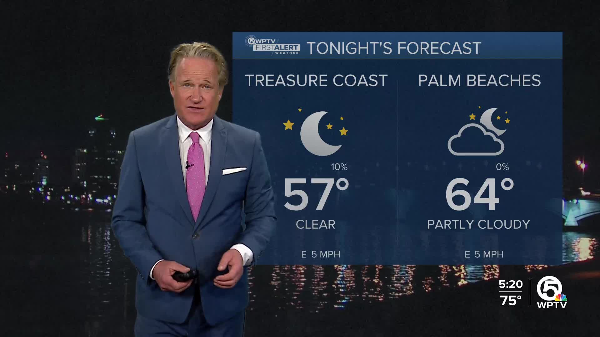


WEST PALM BEACH, Fla. — South Florida will enjoy mostly dry, comfortable weather through Saturday afternoon as high pressure settles over the region. Skies stay mainly rain-free today, and temperatures rise into the upper 70s to near 80.
Morning lows will be coolest around Lake Okeechobee, where temperatures dip into the mid to upper 50s, while South Florida's metro areas start the day in the upper 60s. A light easterly breeze develops today, and increasing clouds are on tap for Saturday.
MORE WEATHER: Radar | Alerts | 7-Day Forecast | Hourly Forecast
On Sunday, moisture filters in from the Gulf and Caribbean, setting up showers and a few storms overnight Saturday and Sunday morning. The rain will move in from the south and track northward. Some showers around Monday, and then rain chances drop a lot through the rest of the week.

Monday and Tuesday will be the coolest days, with highs in the low to mid 70s and the coldest morning expected early Tuesday, when lows could fall into the 50s. Temperatures warm again by Wednesday, returning to the upper 70s and low 80s.
For boaters, moderate easterly winds continue through early Sunday before shifting to the north and strengthening behind the front on Monday. Marine conditions may reach advisory levels by Monday morning, particularly over the Atlantic waters. However, the weekend remains generally manageable aside from a few showers and storms over the Atlantic waters Saturday night and Sunday morning.
At the beaches, a moderate risk of rip currents continues today along all Atlantic shores, and the risk will increase again early next week once the next front moves through.


