
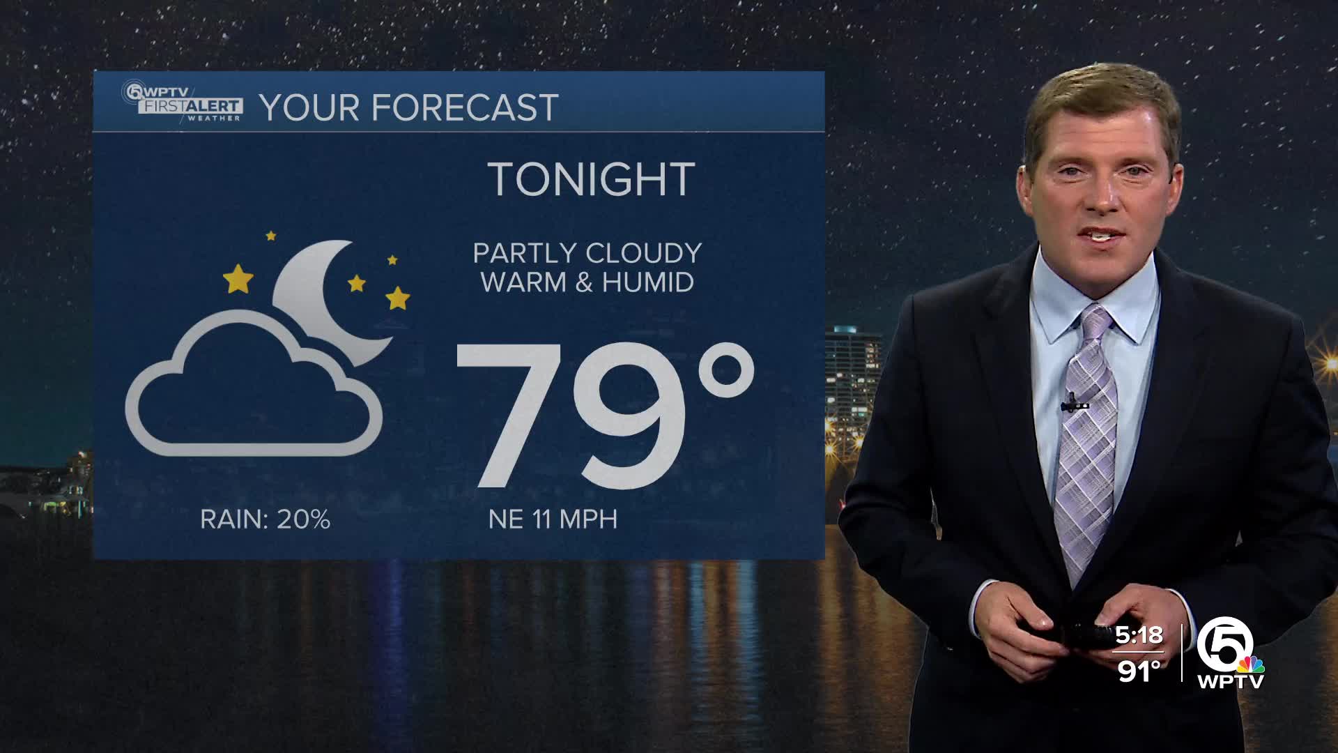


WEST PALM BEACH, Fla. — A few inland storms are possible late this afternoon with lows tonight in the 70s to near 80.
Another toasty day on Tuesday with highs in the lower 90s and heat indices in the triple digits. A few onshore showers are expected near the Treasure Coast for the morning, and afternoon storms are possible starting near 2 pm.
Conditions on the waters will be rough with a high rip current risk. Wave heights will increase and likely peak near 5-8 feet from Tuesday night through Thursday morning.
We will deal with these coastal hazards from Hurricane Erin as the storm passes to the east of Florida.
MORE WEATHER: Radar | Alerts | 7-Day Forecast | Hourly Forecast
Wednesday will be a more active day with scattered storms in the afternoon and highs in the lower 90s.
Isolated storm chances return on Thursday with highs in the lower 90s.
The active weather pattern picks up on Friday with highs in the lower 90s and scattered storms across the area.
Over the weekend, it won't be a washout, but look for scattered storms mainly inland in the afternoons, and highs stay strong in the lower 90s.


