



WEST PALM BEACH, Fla. — South Florida stays unsettled on Sunday with a combination of high moisture levels and atmospheric instability.
The morning hours will be mostly sunny for most with high humidity too. Feels-like temps will quickly warm into the upper 90s.
Sunday: Another stormy afternoon
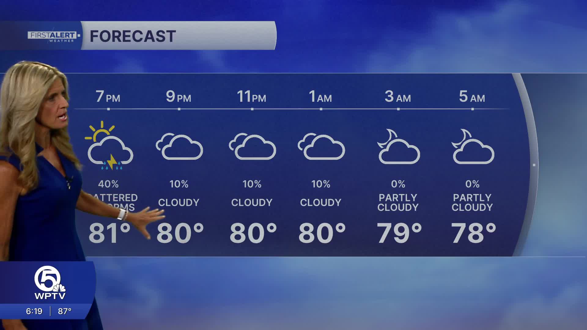
Sunday looks to be a very similar day to Saturday, although showers and thunderstorms may become more widely scattered across the peninsula rather than concentrating mainly over western South Florida.
Plenty of tropical moisture remains available, meaning storms will once again be capable of producing heavy downpours, localized flooding, frequent lightning and gusty winds. West Palm Beach's rain chances hover near 50% during the second half of the day.
If you're planning to be outside on Sunday, the morning and earlier part of the day generally offer the better opportunity before thunderstorms increase during the afternoon.
Good boating continues on Sunday outside of showers and storms. Seas expected 1-2 feet with smooth inland waters and a light SE wind.
MORE WEATHER: Radar | Alerts | 7-Day Forecast | Hourly Forecast
A pattern change arrives by Tuesday.
Strong high pressure building across the eastern United States will increase the northeasterly flow across Florida. Winds become noticeably breezier Tuesday and strengthen further toward Wednesday. At the same time we'll notice some drier air working in - helping to reduce rain chances down to 40%.


