

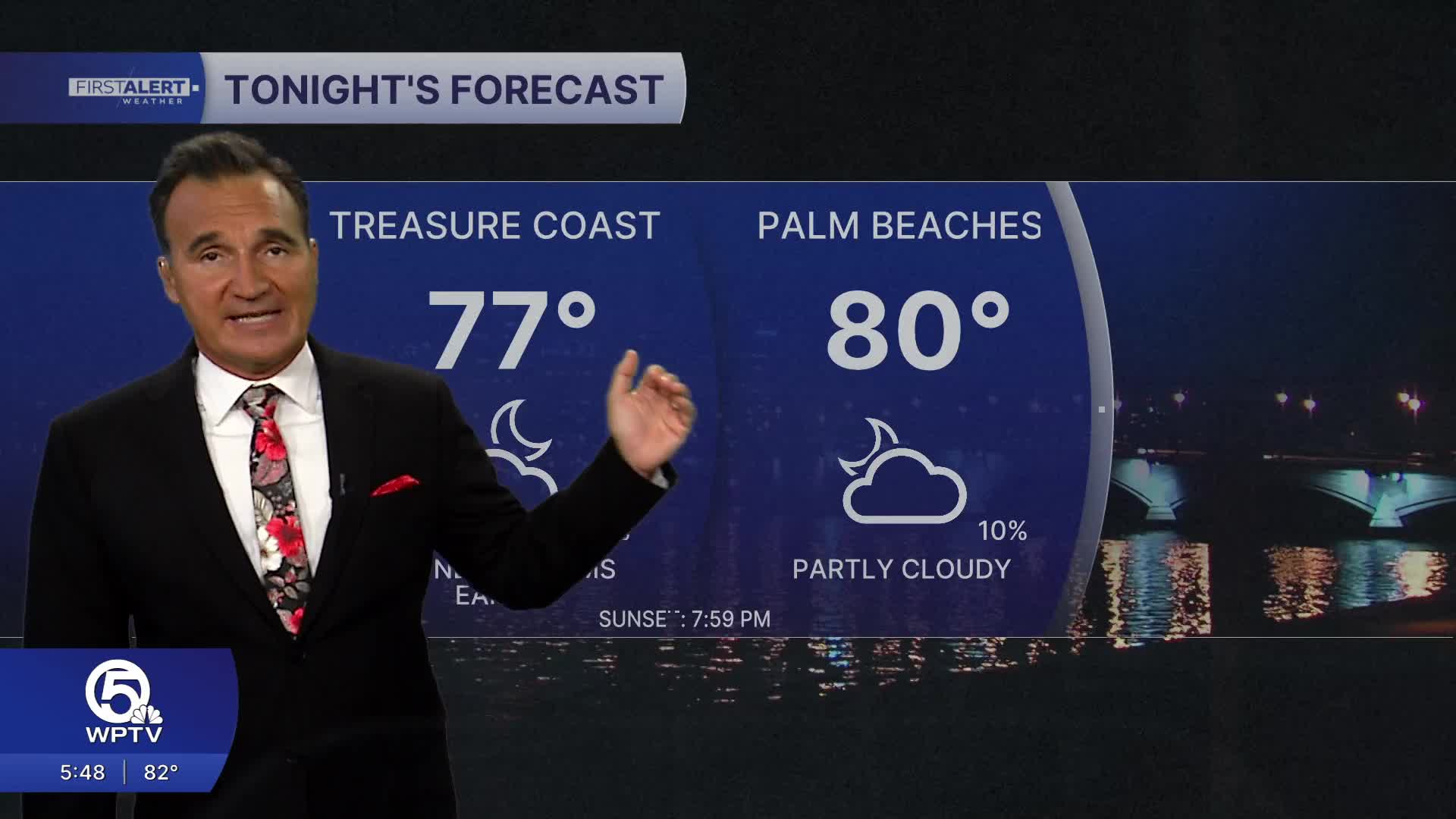


WEST PALM BEACH, Fla. — Hot and humid August weather continues across the Treasure Coast and Palm Beaches through the next several days. Afternoon high temperatures will generally reach the lower to middle 90s, but heat index values will climb into the lower 100s, especially away from the immediate coast where it will feel like 110 degrees.
MORE WEATHER: Radar | Alerts | 7-Day Forecast | Hourly Forecast
Friday will again feature a mix of sunshine, clouds, and a few afternoon and evening showers and thunderstorms. Storm coverage will be highest after 2 p.m., with the Treasure Coast often seeing activity develop first before spreading south into the Palm Beaches. Any storm may produce heavy downpours, frequent lightning, and brief gusty winds.
For the weekend, a typical summer pattern remains in place with warm mornings, partly sunny afternoons, and scattered storms developing mainly inland before drifting toward the coast late in the day. Rain will not be an all-day event, but keep an eye on the sky during the afternoon and early evening hours.
Overnight temperatures will remain very warm and muggy, generally near 80 degrees. Beach conditions will be favorable most mornings, with light onshore winds and the greatest storm chances arriving later in the day.
**Portions of this story were assisted by artificial intelligence tools and reviewed by a WPTV journalist to ensure accuracy, clarity, and adherence to editorial standards.


