

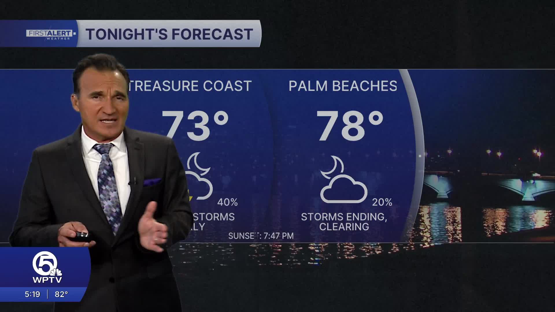


WEST PALM BEACH, Fla. — Expect a mix of sunshine, clouds, and scattered showers today. Rain coverage will be noticeably higher than it has been recently. Some storms could produce very heavy downpours, frequent lightning, and gusty winds. Highs will reach around 90 to 92 degrees, with heat indexes near 100 to 105.
Tomorrow, another wet day is on the way, with showers and thunderstorms becoming more numerous. Some areas could see repeated downpours, while others stay relatively dry. Highs remain near 90 degrees with very high humidity.
On Friday, expect scattered afternoon and evening thunderstorms to remain possible. Expect periods of sunshine between storms, but the rain threat stays elevated.
The wetter pattern continues through the weekend. Saturday should bring scattered thunderstorms, while Sunday could see another round of more widespread heavy showers and storms. Localized flooding will be possible where storms repeatedly move over the same areas.
**Portions of this story were assisted by artificial intelligence tools and reviewed by WPTV journalists to ensure accuracy, clarity, and adherence to editorial standards.


