

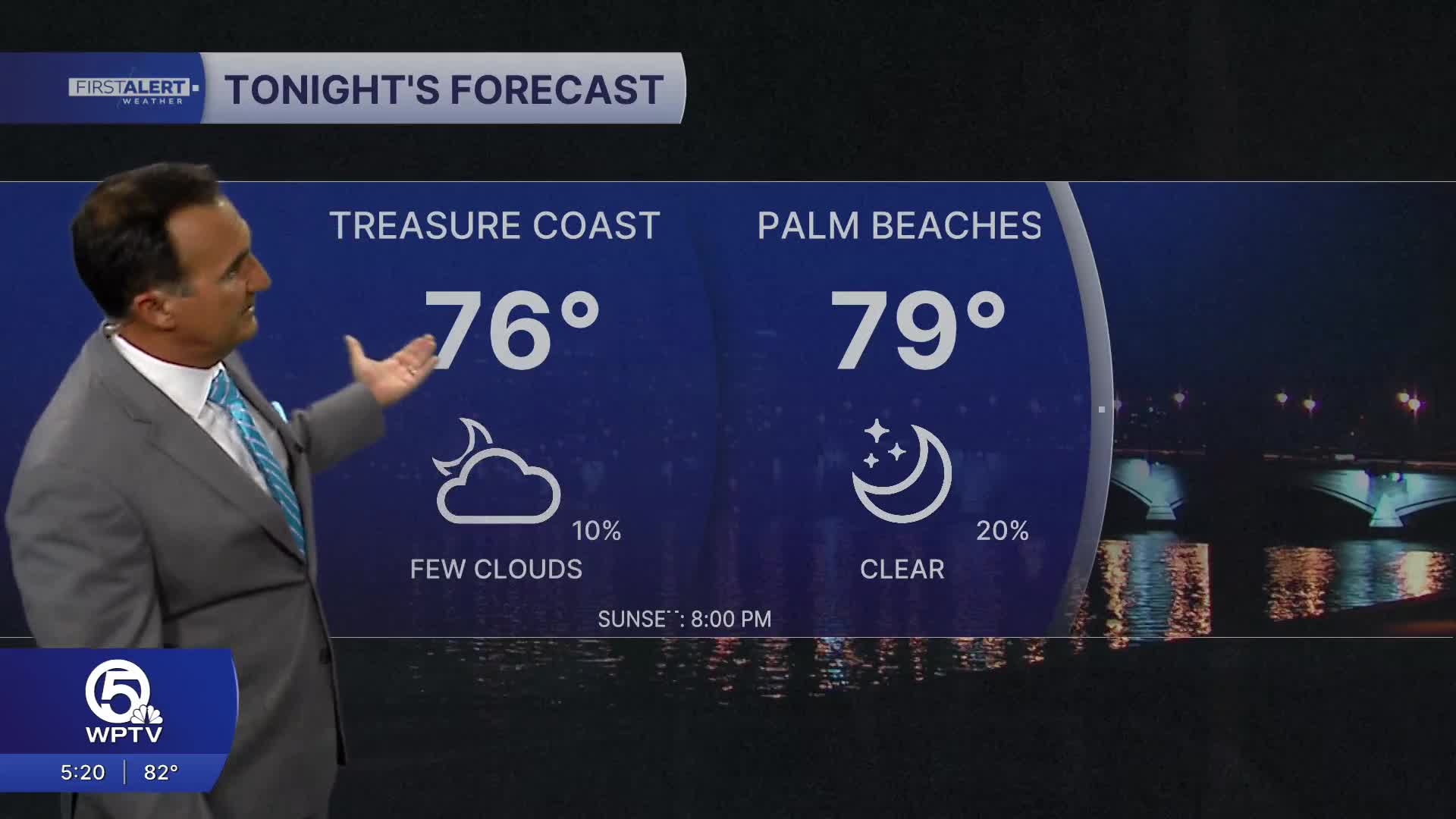


WEST PALM BEACH, Fla. — A heat wave continues across the Palm Beaches and Treasure Coast with dangerous heat remaining the primary weather concern across the region.
Rain coverage remains below normal because dry air in the middle and upper levels of the atmosphere limits how widespread thunderstorms can become.
MORE WEATHER: Radar | Alerts | 7-Day Forecast | Hourly Forecast
Thursday brings another opportunity for scattered storms, while South Florida could see another relative increase in rain chances Saturday as a brief pocket of tropical moisture moves through.
The overall pattern favors fewer thunderstorms and continued intense heat. There is little relief from the heat through the weekend and into early next week.
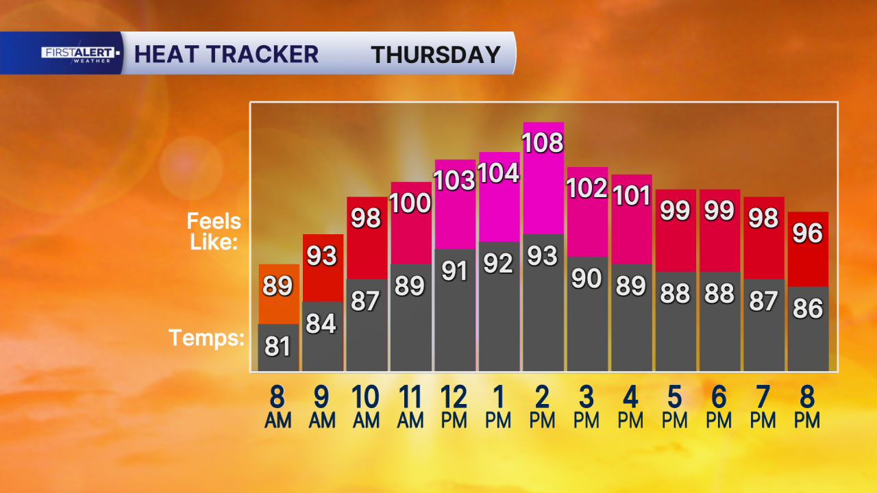
Highs remain primarily in the low to mid 90s, with some locations potentially becoming even hotter. Moderate to Major Heat Risk is expected to continue, meaning the prolonged heat can affect anyone without adequate cooling and hydration.


