


WEST PALM BEACH, Fla. — Expect a similar weather pattern on Tuesday with an isolated storm or two.
Be careful on the beaches this week— there is a high risk of rip currents along the Palm Beach coast that are expected to spread further south along the east coast over the next few days.
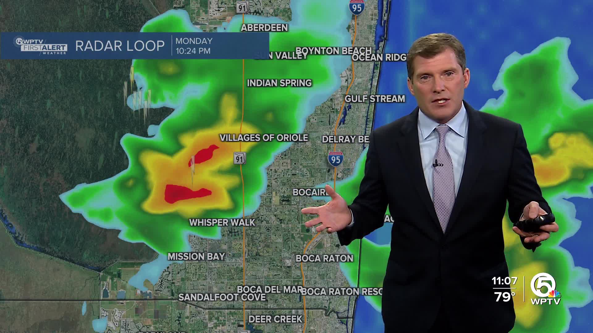
WPTV First Alert Weather Forecast for Evening of Monday, Sept. 15, 2025
MORE WEATHER: Radar | Alerts | 7-Day Forecast | Hourly Forecast
Looking ahead, starting Wednesday, the storms will be picking up again. Expect several rounds of heavy rain, which could lead to localized flooding.
Temperatures will drop back into the mid to upper 80s despite the increase in humidity.


