


WEST PALM BEACH, Fla. — Locally heavy rain is possible anywhere, but the greatest risk will be Thursday into Friday, where repeated rounds of rain could lead to flooding concerns.
Widespread storms will also be capable of producing downpours, gusty winds and frequent lightning.
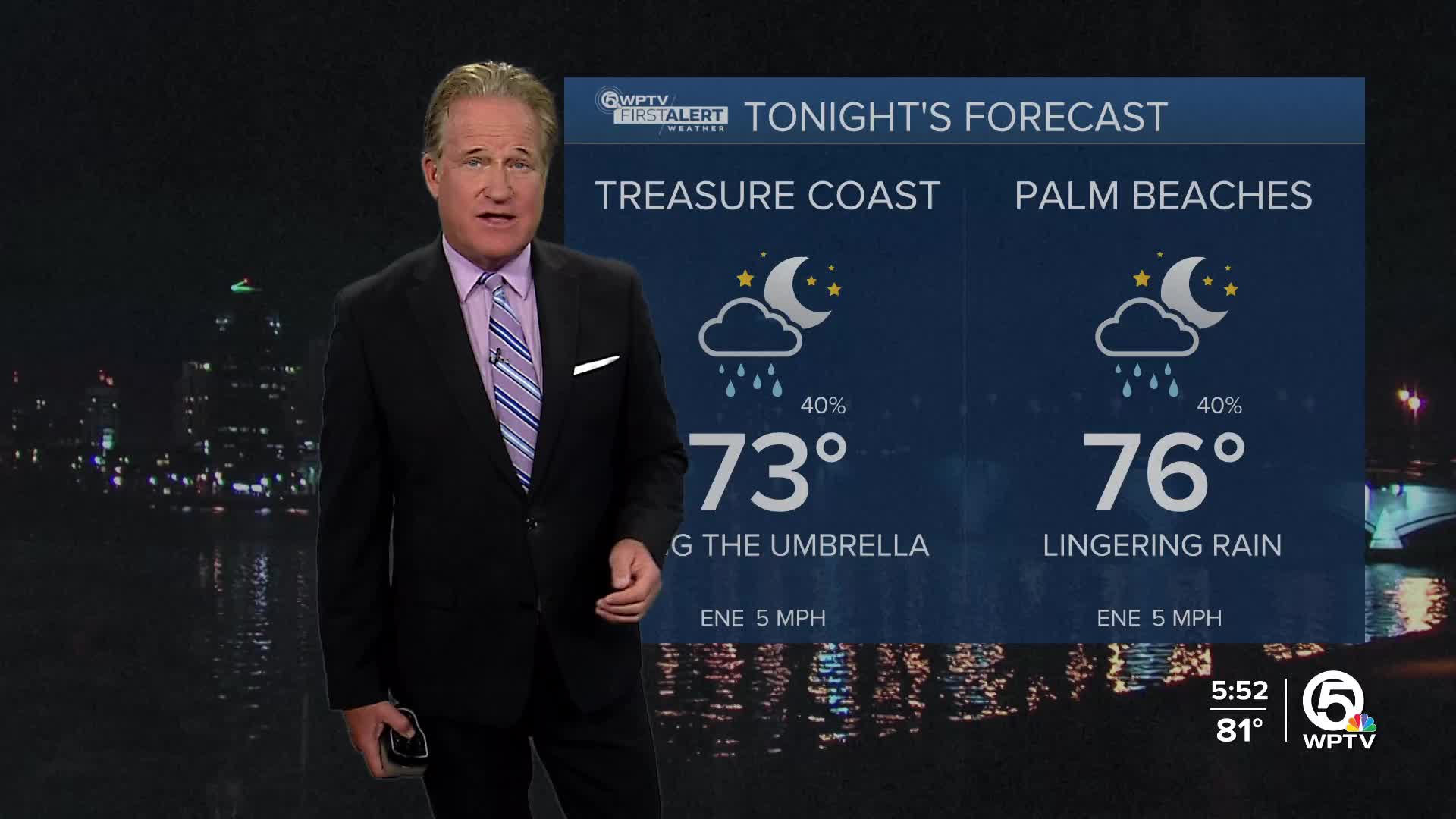
WPTV First Alert Weather Forecast for Evening of Wednesday, Sept. 17, 2025
MORE WEATHER: Radar | Alerts | 7-Day Forecast | Hourly Forecast
Rain and storm chances stay elevated on Friday, especially along the East Coast. While some drier air may try to push in from the Atlantic this weekend, typical afternoon sea breeze storms remain likely both Saturday and Sunday.
Models suggest that moisture may linger into early next week, though a brief drying trend is possible if high pressure builds. Temperatures will hold in the upper 80s to low 90s.


