

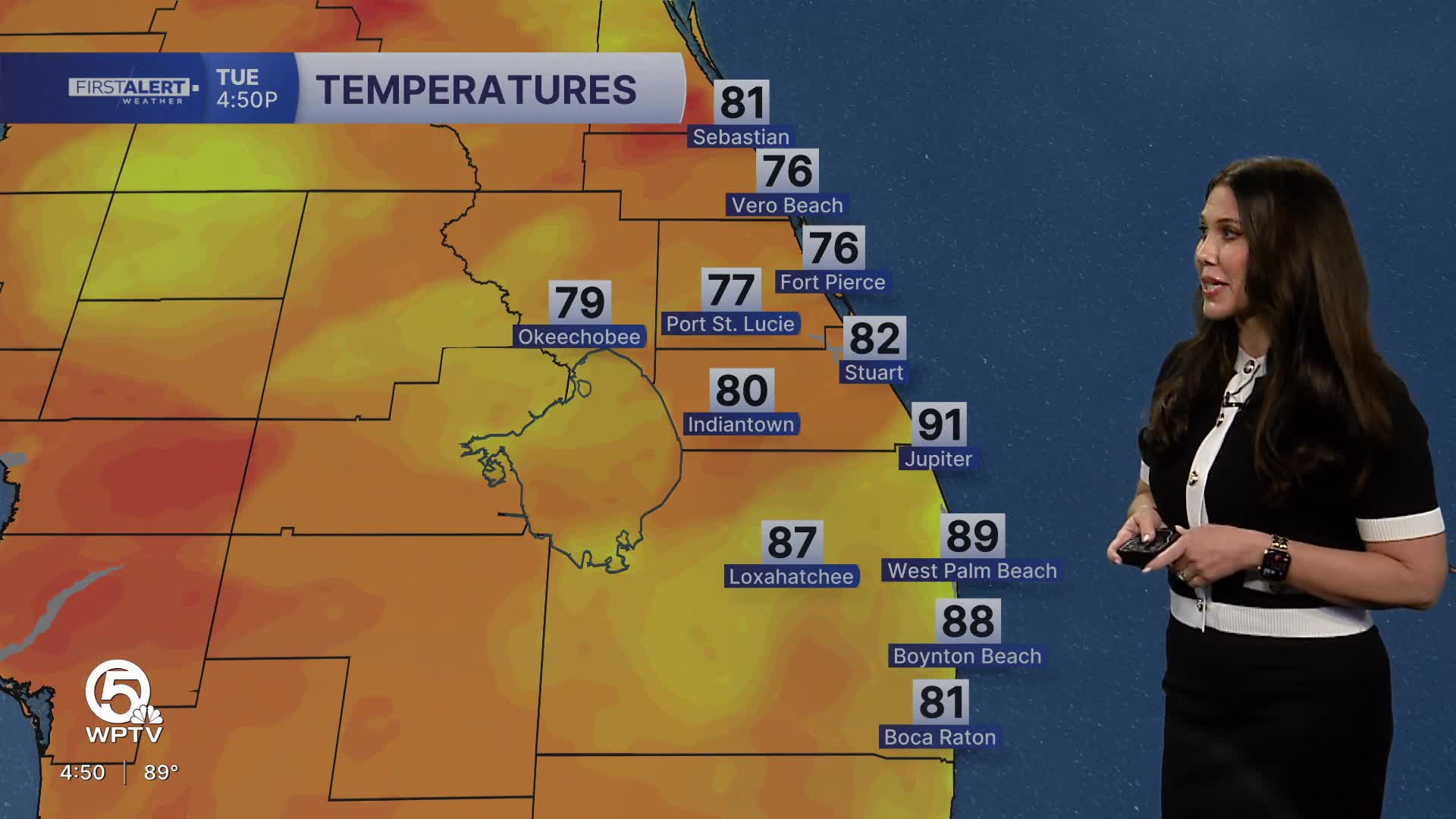


WEST PALM BEACH, Fla. — The afternoon sea breeze will trigger scattered thunderstorms, especially from inland Palm Beach County through the Treasure Coast. Some storms could produce heavy downpours, frequent lightning and gusty winds.
High temperatures will reach the lower 90s, but it will feel closer to 100–105 degrees because of the humidity. Storms gradually diminish after sunset, leaving a warm and muggy night.
MORE WEATHER: Radar | Alerts | 7-Day Forecast | Hourly Forecast
When will the storms end?
For the Palm Beaches and Treasure Coast, scattered thunderstorms remain possible through roughly 7 p.m. Activity should then gradually move toward and offshore of the Atlantic coast. Most lingering storms should diminish after sunset, leaving a mainly dry and warm night with temperatures falling into the mid to upper 70s.
The weather pattern begins to change tomorrow. Patches of Saharan dust are expected to move into South Florida, bringing drier air into the mid-levels of the atmosphere. That will help stabilize the atmosphere and make it more difficult for thunderstorms to develop.
Rain chances fall to around 20 to 30% across the Palm Beaches, although the Treasure Coast will still have an opportunity for scattered afternoon storms. The tradeoff will be more heat.
With fewer thunderstorms and less cloud cover to provide afternoon relief, temperatures will climb into the lower to middle 90s. Heat index values could reach 105 to 110 degrees in portions of the region, and Wednesday could be one of the hottest days of the week.
The quieter weather doesn't last very long as moisture increases again Thursday. For the Treasure Coast, rain chances increase considerably Thursday into Friday, with scattered to numerous showers and thunderstorms possible. The Weather Prediction Center has highlighted portions of east-central Florida in a Marginal Risk for excessive rainfall Thursday and Friday, meaning localized flooding will become something to watch again.


