



WEST PALM BEACH, Fla. — Although a few scattered showers and an isolated storm is possible during the first part of Sunday, most of the storms will hold off until mid-afternoon.
Sunday features a similar pattern to Saturday with mainly dry conditions in the morning before showers and storms develop along the seabreeze during the afternoon.
We tied the record of 96 degrees set back in 2011 on Saturday. The heat risk continues across the region with high temps in the lower 90's.
Humidity pushes heat index values between 101 and 108 degrees before storms develop.

Make sure to take frequent breaks in the shade or air conditioning, limit time outside, and stay hydrated!
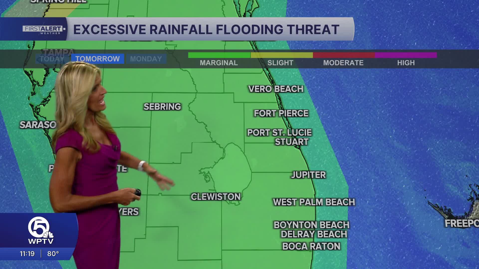
As southwest flow continues on Sunday - the focal point of storms will be across the east coast metro areas. With weak steering flow - slow-moving storms will have the ability to put down heavy amounts of rain. We are under a marginal risk of excessive rainfall once again on Sunday.
If you do encounter flooded roads - do not drive through but turn around instead.
Expected Storm Timing Sunday
11–2 p.m.
A few isolated showers begin developing inland and around Lake Okeechobee.
2–5 p.m.
Thunderstorm coverage increases across Palm Beach County and spreads north through the Treasure Coast.
4–7 p.m.
Highest storm coverage of the day.
Storms gradually push toward the Atlantic coastline.
After 8 p.m.
Most storms weaken and move offshore
MORE WEATHER: Radar | Alerts | 7-Day Forecast | Hourly Forecast
As southwest flow continues along with plenty of deep tropical moisture - Monday is shaping up to be another active day on radar.
On Tuesday - the pattern changes as high pressure in the western Atlantic returns our steering flow from east to west. This will favor the west coast of Florida for higher rain chances. We'll still continue to see scattered storms - but they will not be as widespread.
Easterly breezes will help drop high temps along the east coast by a few degrees to around 90 at the immediate coast and low 90s inland.


