

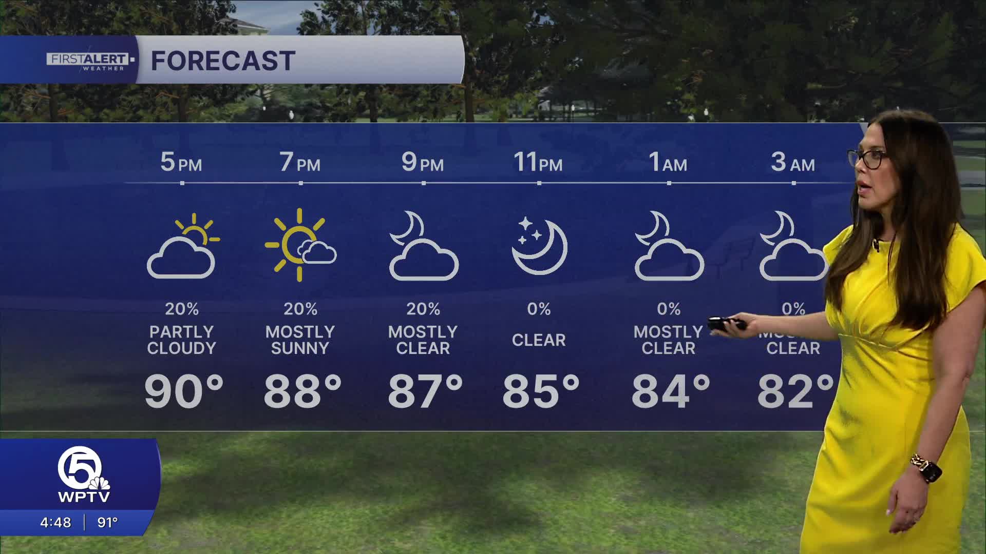


WEST PALM BEACH, Fla. — A strong ridge of high pressure continues to dominate the forecast, making heat the primary weather hazard through the remainder of the week.
If you're spending time outdoors tomorrow, plan frequent breaks in the shade or air conditioning, drink plenty of water, and never leave children or pets inside a parked vehicle.
MORE WEATHER: Radar | Alerts | 7-Day Forecast | Hourly Forecast
Wednesday brings a slightly different setup.
Moisture begins to increase compared to today, allowing for a better chance of scattered afternoon showers and thunderstorms, especially during the afternoon and early evening as sea breezes collide across the interior.
Not everyone will see rain, but coverage will be higher than Tuesday.
High temperatures will once again reach the low to mid-90s, with heat index values climbing back into the 105 to 110-degree range before storms develop.
Thursday currently looks to bring the greatest rain chances of the week as the ridge shifts farther west, allowing for more widespread afternoon shower and thunderstorm development.
After Thursday, high pressure strengthens again, leading to another stretch of warmer and drier weather heading into the end of the week and next weekend.


