

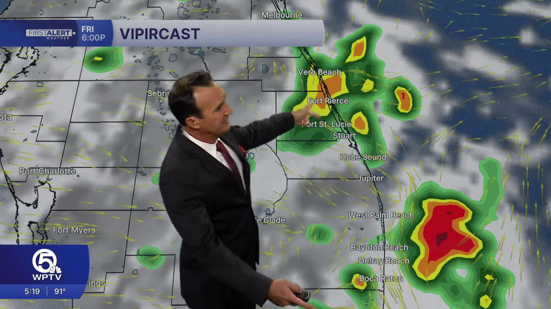


WEST PALM BEACH, Fla. — Most thunderstorms will gradually diminish after sunset, leaving partly to mostly cloudy skies overnight. Temperatures will remain warm and muggy, with lows around 79 to 82 degrees.
Patchy fog is not expected to be widespread due to the persistent southwest breeze.
MORE WEATHER: Radar | Alerts | 7-Day Forecast | Hourly Forecast
Not everyone will see rain, but those that do can expect heavy downpours that temporarily reduce visibility.
The weekend weather pattern changes very little. Each day will begin with a mix of sun and clouds, followed by building heat and humidity. Afternoon and evening thunderstorms will once again become numerous, with the greatest coverage developing after 2 p.m.
Any stronger storms will be capable of localized flooding because of slow-moving, heavy rain. High temperatures will stay in the upper 80s to near 90 degrees, while overnight lows remain around 80 degrees.
Beachgoers should enjoy the morning hours before storms develop. Lightning will be the primary hazard during the afternoon, so head indoors immediately if thunder is heard. Winds and seas generally remain manageable outside of thunderstorms, but conditions can deteriorate rapidly near developing storms with gusty winds and rough seas.
**Portions of this story were assisted by artificial intelligence tools and reviewed by a WPTV journalist to ensure accuracy, clarity, and adherence to editorial standards.


