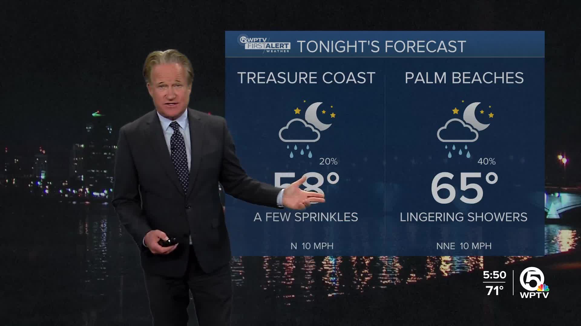
Weather

Actions

FORECAST: Front creates drop in temperatures, dangerous beach conditions

WPTV First Alert Weather Forecast for morning of Tuesday, Dec. 9, 2025
Weather forecast Dec. 9, 2025
Posted

WEST PALM BEACH, Fla. — A cool, northeast breeze is settling over South Florida today as a front stalls just to our south, creating a small drop in humidity and temperatures compared to the past few days.

Tuesday morning lows are kicking off in the 60s, then the afternoon temps will only touch the lower 70s since it will be cloudy and windy. The strong northeast wind will bring quick-moving showers onshore this afternoon.

Today's highs Dec. 9, 2025

Today is not ideal for boating. Behind the front, northeasterly winds get gusty, and seas will run rough, up to 7 feet in the Atlantic and a choppy intracoastal. Small Craft Advisories remain in effect, and showers could bring sudden higher winds. Conditions ease gradually tonight into Wednesday.

Beachgoers should also use caution, as a high risk of rip currents is in place along the Atlantic beaches, so swimming is not recommended.

Weather alerts Dec. 9, 2025

Temperatures stay very comfortable on Wednesday with highs in the low- to mid-70s. Cooler nights dipping into the upper 50s inland and the mid-60s along the beaches.

By Thursday, a reinforcing shot of dry air arrives as another front moves through, sweeping away the leftover moisture and giving us several days of bright, quiet, very seasonable weather. Expect highs in the mid- to upper-70s and crisp nights in the 50s inland and 60s along the coast, which is perfect for outdoor dining, parks, golf, and holiday events through the weekend.

Late in the weekend and early next week, there’s some uncertainty. A disturbance in the Gulf may drift toward Florida, which would increase clouds and bump rain chances slightly. For now, Saturday stays dry, but Sunday looks to be the day for the return of showers during the weekend.

MORE WEATHER: Radar | Alerts | 7-Day Forecast | Hourly Forecast