

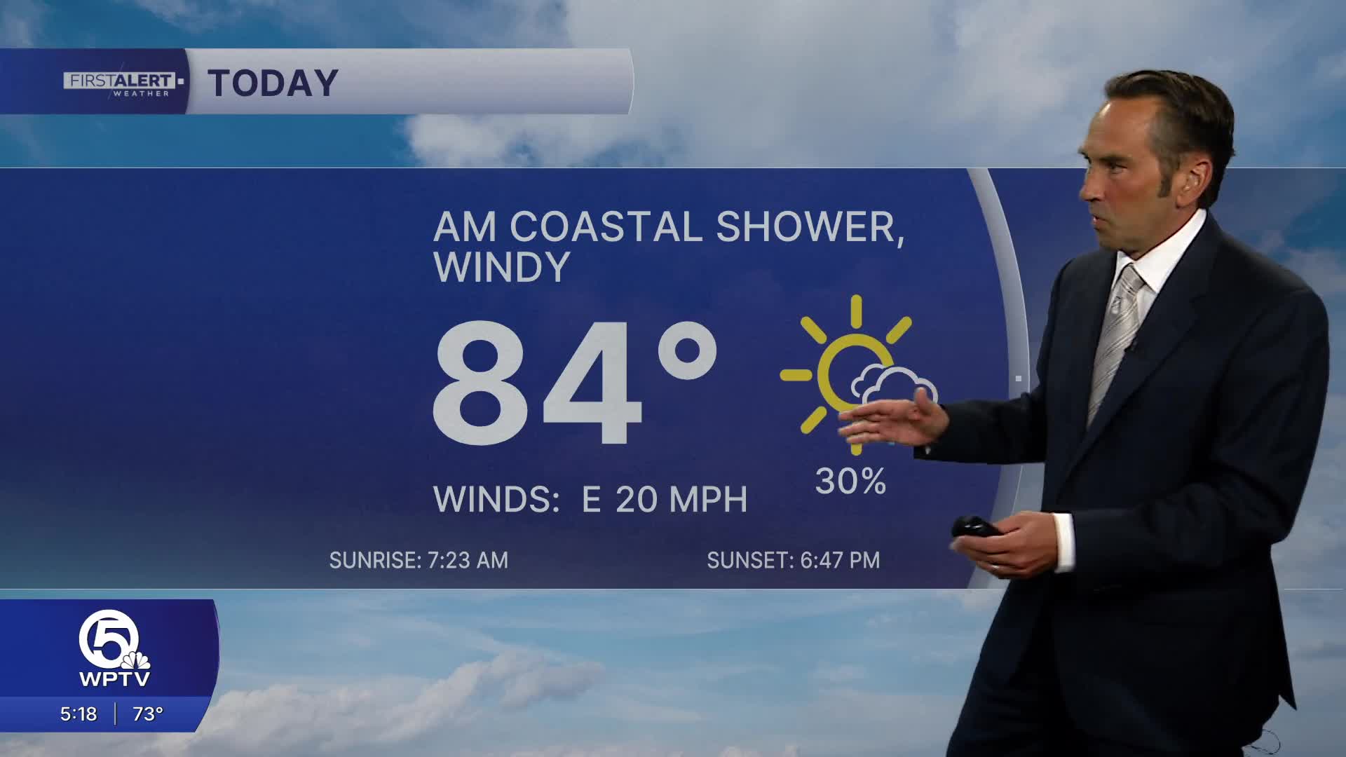


WEST PALM BEACH, Fla. — A refreshing taste of fall continues across the Treasure Coast and Palm Beaches, with lower humidity, comfortable temperatures and plenty of sunshine in the forecast. Afternoon highs will reach the lower to middle 80s, while overnight temperatures dip into the 60s, making for some of the most comfortable weather we've seen in weeks.
The biggest factor in the forecast will be the breeze. Gusty northeast winds will make conditions feel pleasant on land, but they'll also create rough surf and hazardous conditions along the coast and offshore waters.
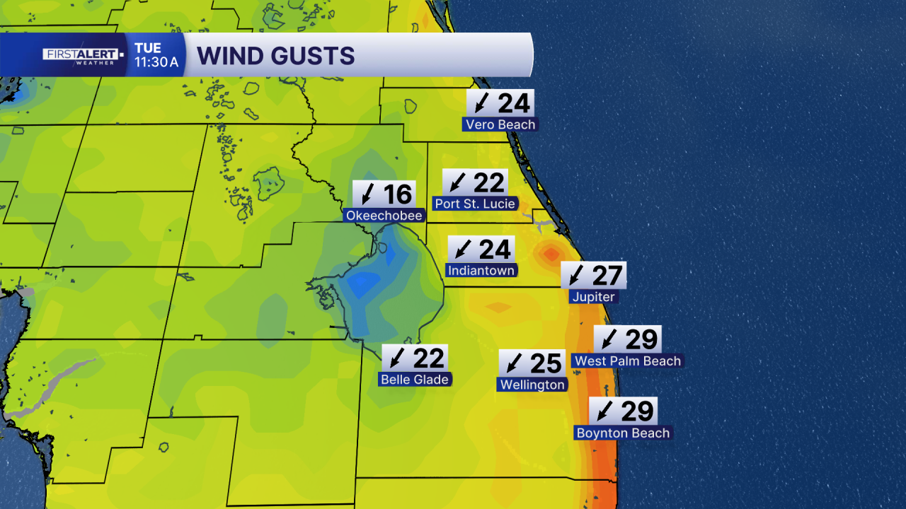
Beachgoers should use extra caution, as the persistent onshore wind is increasing the risk of dangerous rip currents. Even when conditions appear calm, strong currents can quickly pull swimmers away from shore. It's best to swim near a lifeguard, obey beach warning flags and stay out of the water when conditions are unsafe.
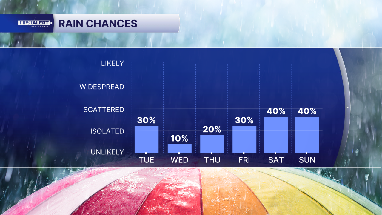
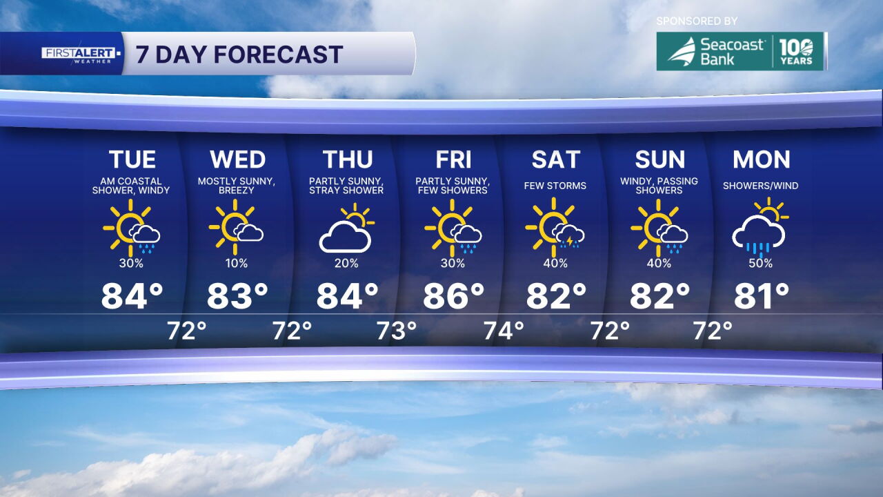
The pleasant weather pattern will continue through midweek, with highs generally in the low to middle 80s and cool mornings in the 60s. Rain chances remain low, although a few passing coastal showers cannot be ruled out. Plenty of sunshine is expected through Thursday.
Looking ahead, breezy northeast winds and rough seas will keep beach and boating conditions hazardous. A high rip current risk is expected along Atlantic beaches, and large breaking waves could lead to dangerous surf conditions, particularly along Palm Beach County's coastline. Minor coastal flooding around times of high tide is also possible later this week.
The bottom line: Enjoy the sunshine, low humidity and comfortable temperatures, but use caution if you're heading to the beach or out on the water. Rough surf, dangerous rip currents and hazardous boating conditions will remain the primary concerns through the week.
MORE WEATHER: Radar | Alerts | 7-Day Forecast | Hourly Forecast
Portions of this story were assisted by artificial intelligence tools and reviewed by WPTV journalists to ensure accuracy, clarity and adherence to editorial standards.


