


WEST PALM BEACH, Fla. — A strong ridge of high pressure extending across the area will continue to bring us unseasonably warm temps right into the weekend.
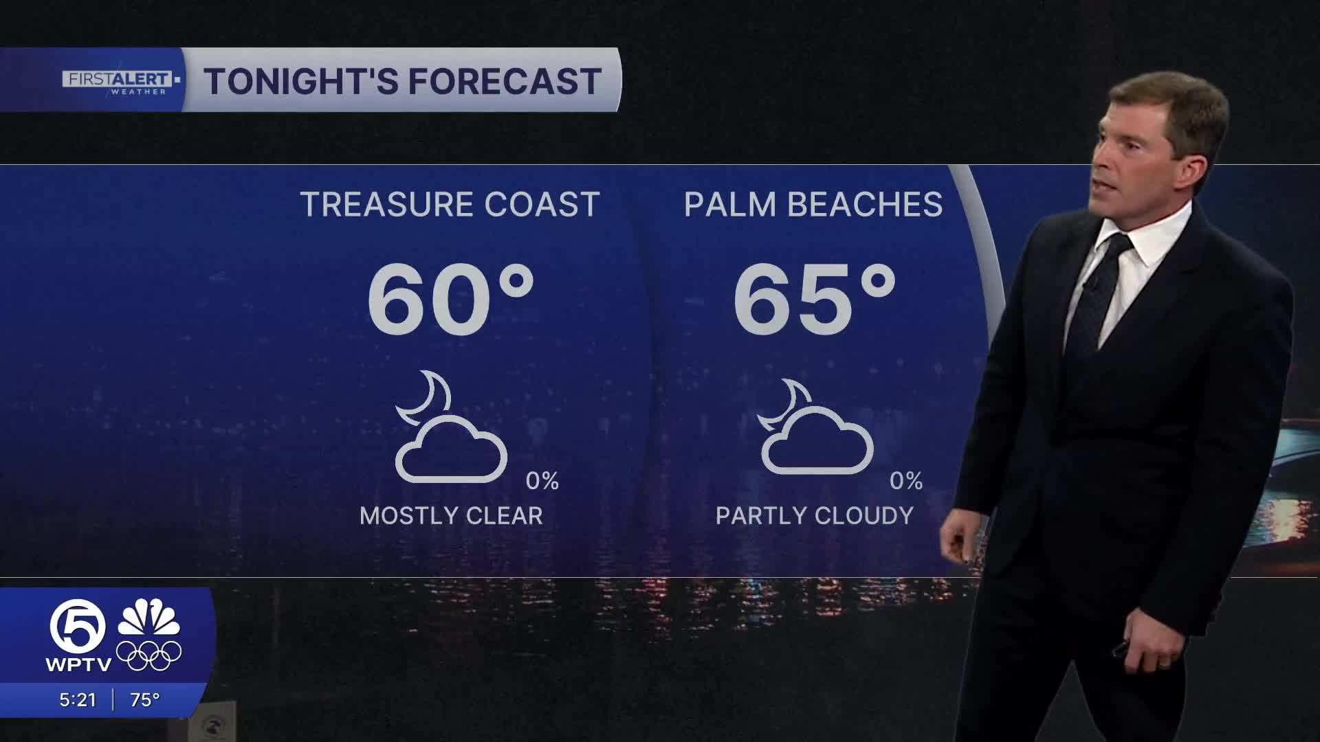
Overnight temps will be less cool with readings Wednesday morning ranging from the upper 50s far inland to mid 60s at the coast.
MORE WEATHER: Radar | Alerts | 7-Day Forecast | Hourly Forecast
Starting Wednesday, our winds will veer southeasterly - bringing in warmer air and high temps in the low 80s. Highs will surge into the mid-80s by Thursday and Friday.
Coastal areas will still experience a daily sea breeze to take the edge off the heat, but inland communities will notice the biggest warmup.
Rain chances stay near zero, and with dry air in place, drought and fire weather concerns remain high.
The pattern shifts late this weekend as the next cold front moves toward the region. Saturday and Sunday remain unseasonably warm, but by Sunday night the front pushes through with at least a slight chance of rain — currently around 20-30%. Rain coverage still looks uncertain, but a noticeable cool-down is expected behind the front.
Highs on Monday could run 5-15 degrees below normal, bringing a refreshing change after several days of heat.
For boaters - seas will remain elevated and rough as a new northeast swell moves in. Ocean swimming will be dangerous as a high risk of rip currents continues through Friday. Boating conditions will start to improve over the weekend.
**Portions of this story were assisted by artificial intelligence tools and reviewed by a WPTV journalist to ensure accuracy, clarity, and adherence to editorial standards.


