



WEST PALM BEACH, Fla. — Major flooding is still impacting areas across Palm Beach County and the Treasure Coast. Residents in flood-affected areas should avoid flooded roads and should not walk or drive through floodwater.
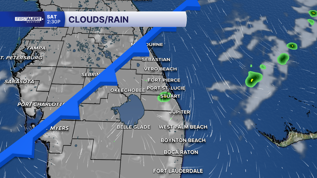
While most of the day will be partly sunny and nice, isolated showers are possible over the Treasure Coast counties from late this morning into the afternoon. A stray inland shower can't be ruled out this afternoon either. High temperatures will remain very warm today, reaching the mid 80s.
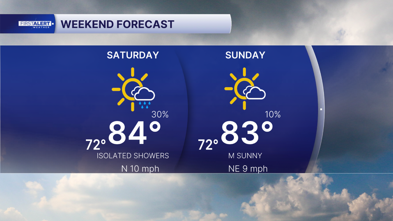
A cool front will push through Saturday, bringing the chance for a few showers. Rain accumulations are forecast to be under 1/4 of an inch. Sunday looks mainly sunny and great! The weak front will bring somewhat cooler and drier weather through early next week.
MORE WEATHER: Radar | Alerts | 7-Day Forecast | Hourly Forecast
A coastal flood statement has been issued for the Palm Beaches as king tides make a return, bringing minor saltwater flooding in low-lying coastal areas during high tides between 5-8 AM/PM.
Boating looks great, but at the beaches, keep an eye out for rip currents as swells will still be impacting the Treasure Coast.
Portions of this story were assisted by artificial intelligence tools and reviewed by a WPTV journalists to ensure accuracy, clarity, and adherence to editorial standards.


