


WEST PALM BEACH, Fla. — A quiet and mostly dry stretch continues across the Treasure Coast and Palm Beaches to start the week.
MORE WEATHER: Radar | Alerts | 7-Day Forecast | Hourly Forecast
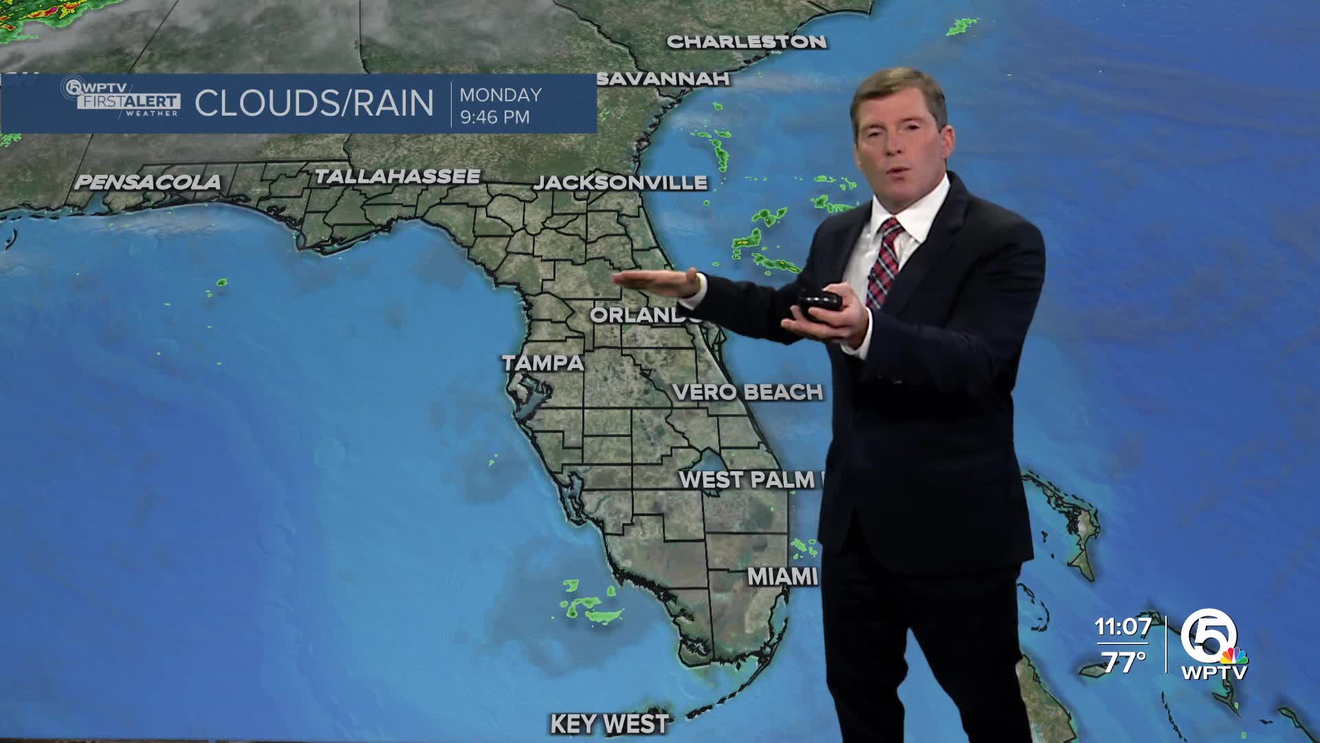
A weak front sitting over central and southern Florida will gradually lose its punch and lift north, bringing little more than a few isolated coastal showers along the coast today and a few on Tuesday. Most locations will stay dry.
As moisture slowly increases midweek, it may start to feel a bit more humid, with highs remaining above average in the lower to middle 80s.
Changes arrive heading into Thanksgiving. A stronger cold front tied to a powerful northern U.S. storm system will sweep through late Wednesday night into early Thursday. Ahead of the front, a few more showers will be possible.
Once the front passes early Thanksgiving morning, temperatures will drop noticeably. Highs on Thursday will range from the mid-70s to the lower 80s.
Even cooler air is settling in on Friday as breezy north-northeast winds keep highs in the upper 60s to lower 70s. Lows will dip into the 50s to lower 60s Thursday and Friday nights, with some upper 40s possible north of Lake Okeechobee.
By the weekend, high pressure builds back in, shifting winds onshore and gradually warming temperatures again. Highs rebound to the middle 70s Saturday and climb toward the upper 70s to near 80 degrees by Sunday.


