


WEST PALM BEACH, Fla. — A weak front slipping into the area could squeeze out a few light showers Thursday evening, but rainfall amounts look minimal.
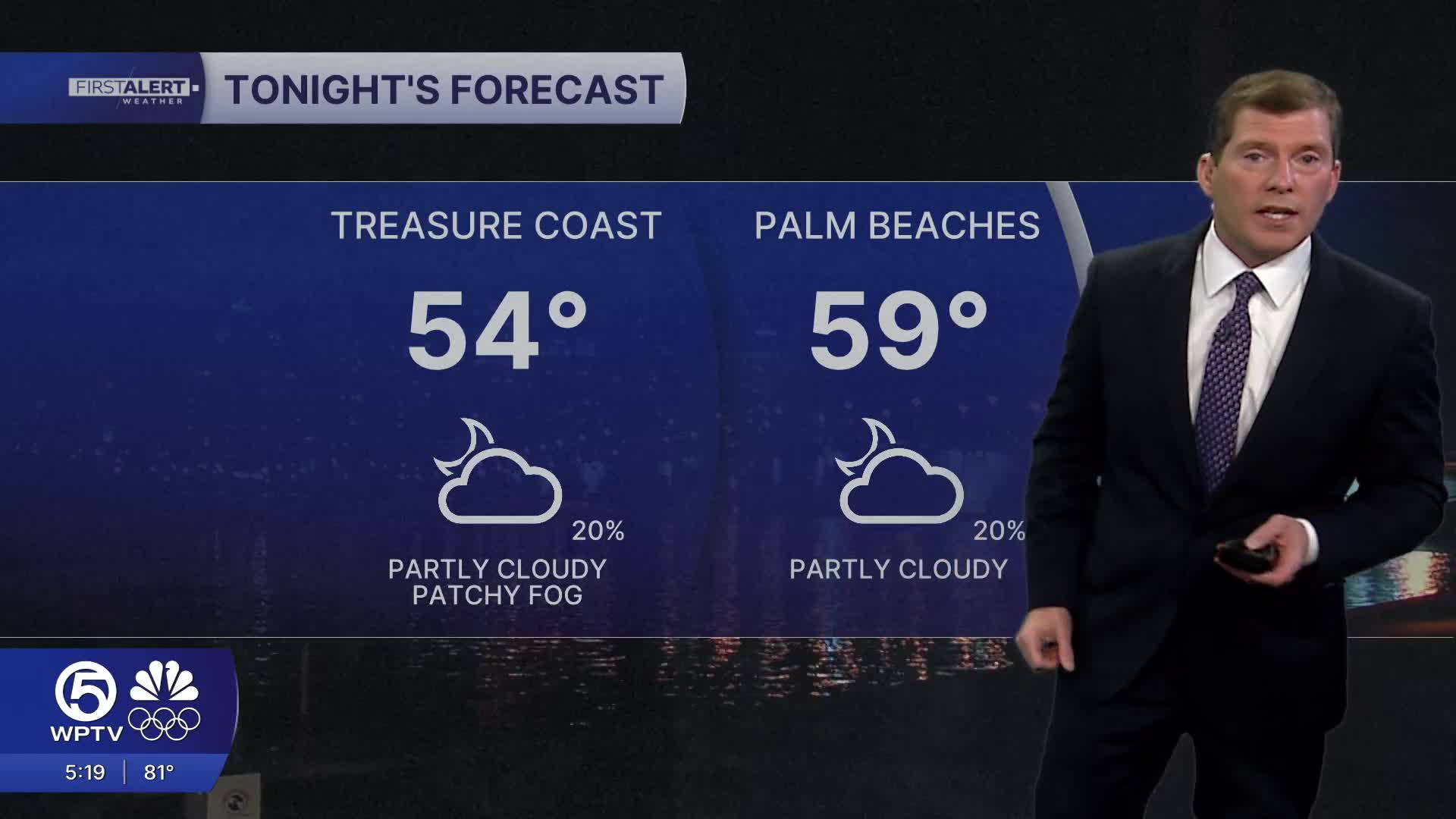
Fog could once again develop in the early morning around Lake Okeechobee and spread into the Treasure Coast. Lows will be in the mid 50s inland and near 60 along the coast.
MORE WEATHER: Radar | Alerts | 7-Day Forecast | Hourly Forecast
Friday and Saturday stay fairly quiet. Rain chances remain slim, and if a sprinkle does pop up, it’ll be brief and light — mainly along the coast. Temperatures will continue running above normal, with coastal highs in the low to mid-70s and inland areas reaching the mid to upper 70s.
A few spots near Lake Okeechobee could even reach 80 degrees. Overnight lows will generally settle into the 50s, with some cooler upper 40s possible in typically chillier inland spots.
Looking ahead to Sunday and early next week, a stronger low-pressure system approaches, bringing better rain chances and even a few Thunderstorms.
Showers become more likely Sunday night, continuing into Monday as a cold front and low-pressure system moves through. Some uncertainty remains on exact timing, but breezy southerly winds Sunday will shift northwest behind the front Monday.
Despite the unsettled weather, temperatures stay warm — upper 70s along the coast and low 80s inland Sunday — before settling back into the 70s early next week.
**Portions of this story were assisted by artificial intelligence tools and reviewed by a WPTV journalist to ensure accuracy, clarity, and adherence to editorial standards.


