
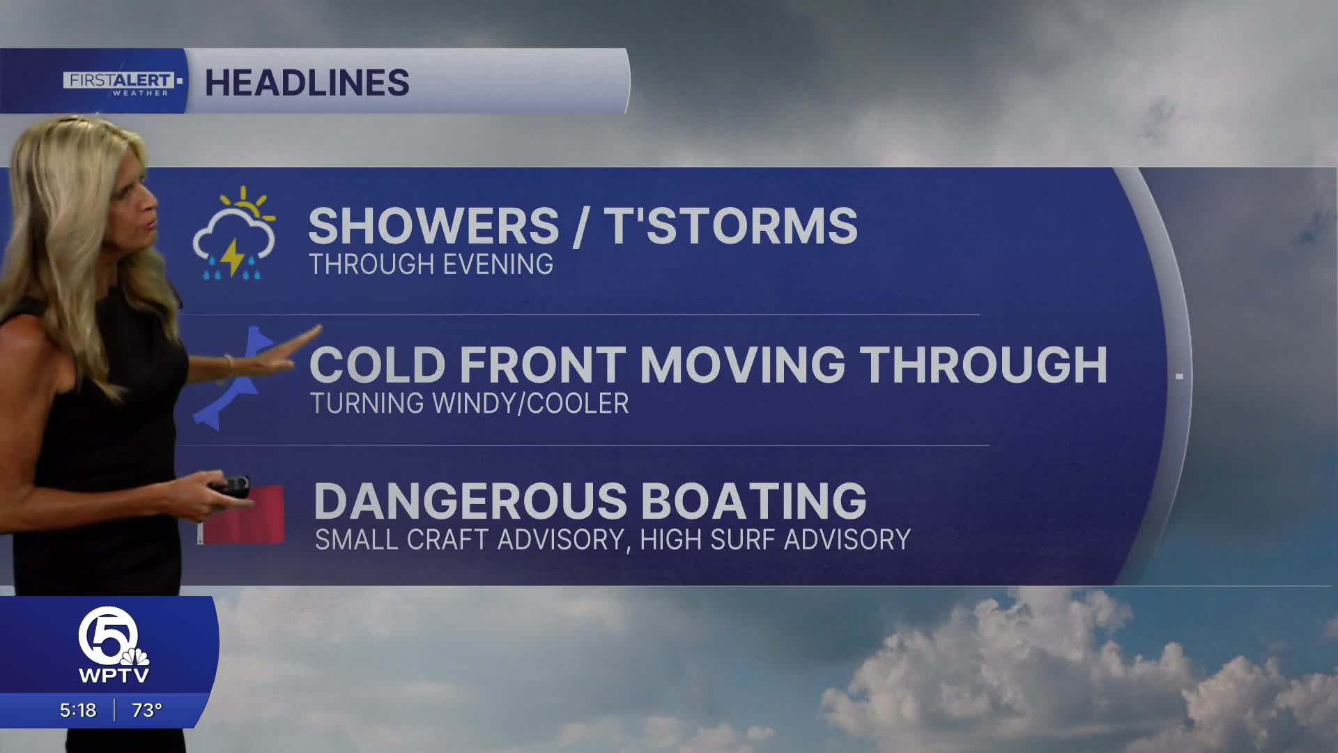


WEST PALM BEACH, Fla. — A cold front will bring us much drier, slightly cooler, and windy conditions for Tuesday.
Wake-up temps could drop as low as the upper 50s for far inland locations -mid-60s for the Treasure Coast - and low 70s for the Palm Beach county coast. But the bigger story is the wind: breezy to gusty northeast winds will stick around through Wednesday, keeping things feeling cooler than usual for this time of year.
MORE WEATHER: Radar | Alerts | 7-Day Forecast | Hourly Forecast
Multiple beach and boating hazards are in place. Expect rough surf, strong longshore currents, and a high risk of dangerous rip currents along all Florida Atlantic beaches. Small craft and high surf advisories are in effect through at least midweek.
There is a red flag warning for Okeechobee county from 11AM until 8PM Tuesday as relative humidity could drop below 35% along with gusty NE winds.
Looking ahead, the weather settles into a drier pattern with fewer rain chances, gradual warming by the weekend, and lighter winds returning by Friday—just in time for a more typical Florida spring feel.
**Portions of this story were assisted by artificial intelligence tools and reviewed by a WPTV journalist to ensure accuracy, clarity, and adherence to editorial standards.


