


WEST PALM BEACH, Fla. — Cooler air is settling into the Treasure Coast and Palm Beaches on Friday, with rain chances remaining high for the next several days.
A weak cold front moved through Florida Thursday night and is now stalled to our south, helping shift winds out of the northeast.
MORE WEATHER: Radar | Alerts | 7-Day Forecast | Hourly Forecast
Some areas of Palm Beach County saw heavy rain earlier on Friday, but all flood advisories have now expired.
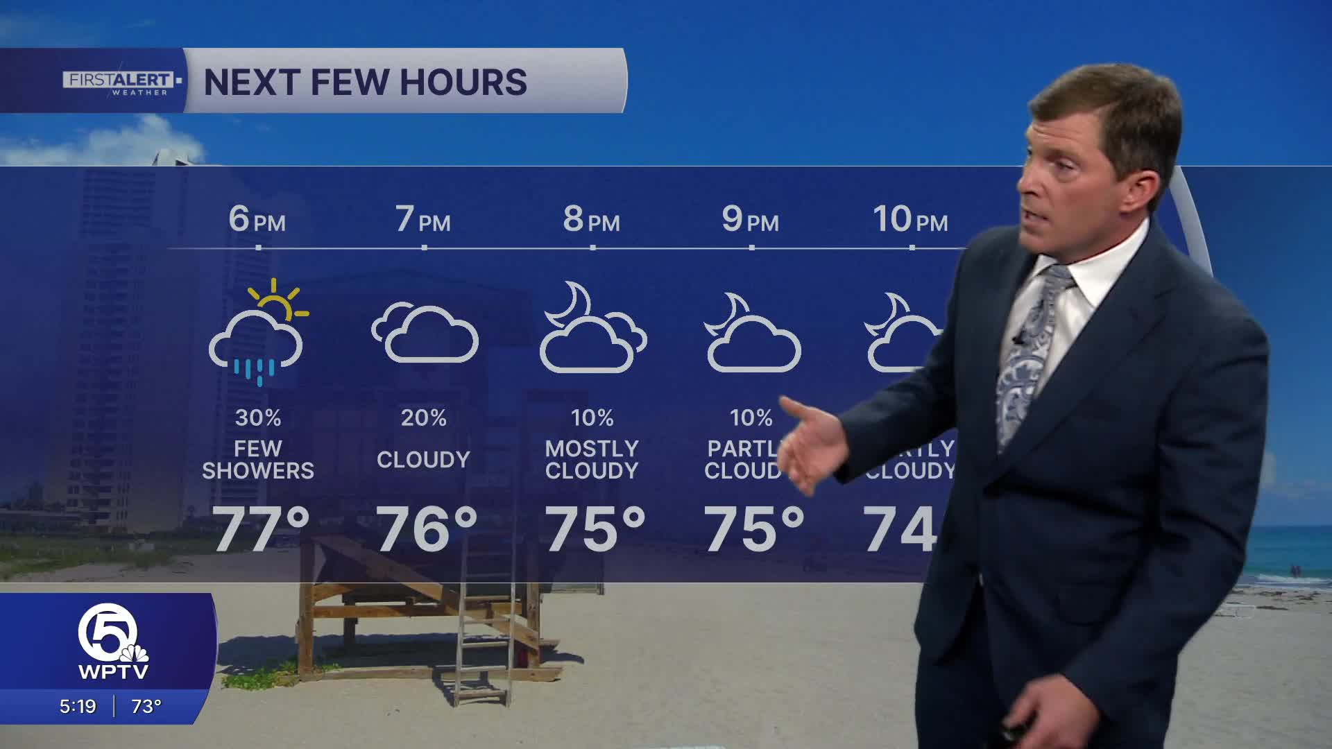
Our best chance of seeing moderate to heavy rain in the early evening will be across southern Palm Beach County. Computer models show most areas look fairly dry from 5 p.m. to 7 p.m. Friday.
Highs this afternoon will climb into the upper 70s and low 80s across the region, with breezy onshore winds along the coast.
Gusts near 25 mph are possible at times, especially near the beaches. These persistent winds will also create rougher ocean conditions, with a high risk of dangerous rip currents along Palm Beach County beaches and elevated surf along the Treasure Coast.
WEEKEND FORECAST
Heading into the weekend, moisture quickly increases again across South Florida. This will bring a more unsettled pattern to the Treasure Coast and Palm Beaches, with scattered showers and thunderstorms possible both Saturday and Sunday.
Some showers may develop in the morning hours before additional storms form later in the afternoon as sea breezes develop. A few storms this weekend could also become briefly strong. Rainfall totals through the weekend will vary depending on where storms develop, but most areas can expect around a half inch to just over an inch of rain. Some isolated locations could see higher totals if storms linger over the same area.
Another weather change arrives early next week when a stronger cold front is expected to move across Florida late Monday or early Tuesday.
Ahead of the front, Monday will likely be the warmest day with highs returning to the mid-80s and another round of scattered showers and storms possible. Behind the front, a much cooler air mass moves in quickly. Beaches could fall from the mid-80s Monday afternoon to highs only in the low to mid-70s by Tuesday.


