


WEST PALM BEACH, Fla. — South Florida is in for some delightful weather! We’ll be basking under a nice surface ridge with easterly winds and while high-level clouds may drift across the skies, we're looking at dry conditions.
MORE WEATHER: Radar | Alerts | 7-Day Forecast | Hourly Forecast
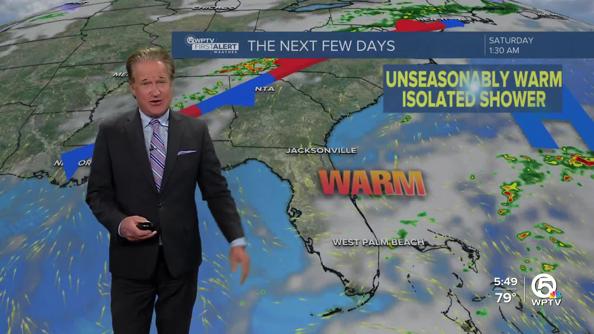
As we head into the weekend, things will shift a bit. The winds will turn more southerly, and moisture levels will creep up, resulting in some scattered showers or maybe even a stray storm. So, while our afternoons will warm up a bit, expect milder evenings too, thanks to the increased moisture and a more tropical air mass.
Looking ahead to early next week, models show some variation in how a cold front will approach. Regardless, it seems like we might not see significant rainfall due to some persistent dry air in the region.
Meanwhile, marine conditions are improving after a choppy few days; by the weekend, things should be calmer. Just be cautious if you're heading to the beach, as moderate onshore winds and slightly elevated surf will keep the rip current risk high today, but it should ease up tomorrow. And for those near the coast, keep an eye on the tides—today marks the peak of King Tide, but we’re not expecting any major flooding issues.
Overall, it’s shaping up to be a lovely weekend in South Florida!
**Portions of this story were assisted by artificial intelligence tools and reviewed by a WPTV journalist to ensure accuracy, clarity, and adherence to editorial standards.


