
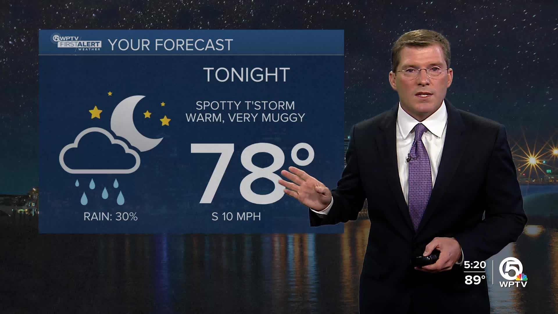


WEST PALM BEACH, Fla. — Tonight there could be some lingering storms, but otherwise it will be mostly cloudy with lows in the 70s.
Wednesday could begin with some heavy rains along the coast, then push inland in the afternoon as the southeast winds pick up a bit. Highs in the upper 80s.
MORE WEATHER: Radar | Alerts | 7-Day Forecast | Hourly Forecast
Rain chances are going to decrease to around 50% starting on Thursday, causing the highs to reach 90 degrees by the end of the week. The heat index will start hitting triple digits again!

A disturbance in the Atlantic will soon move across central Florida on Tuesday and Wednesday, entering the Gulf. The National Hurricane Center has given this a 40% chance of developing into a tropical system.
As the storm moves further into the Gulf this weekend, the rain chances in our area will continue to decrease. Models continue to keep it a very weak system with heavy rainfall spreading into the northern Gulf coast being the primary impacts.


