


WEST PALM BEACH, Fla. — A rare, powerful, late summer cold front has pushed all the way through central Florida this evening bringing some much needed relief to places like Pensacola, Jacksonville, Tallahassee and Orlando.
It's still going to be hot up there the rest of the week. But the humidity drops lock a rock and morning low temperatures will actually start out in the low to mid 60s! Not bad for the end of August!
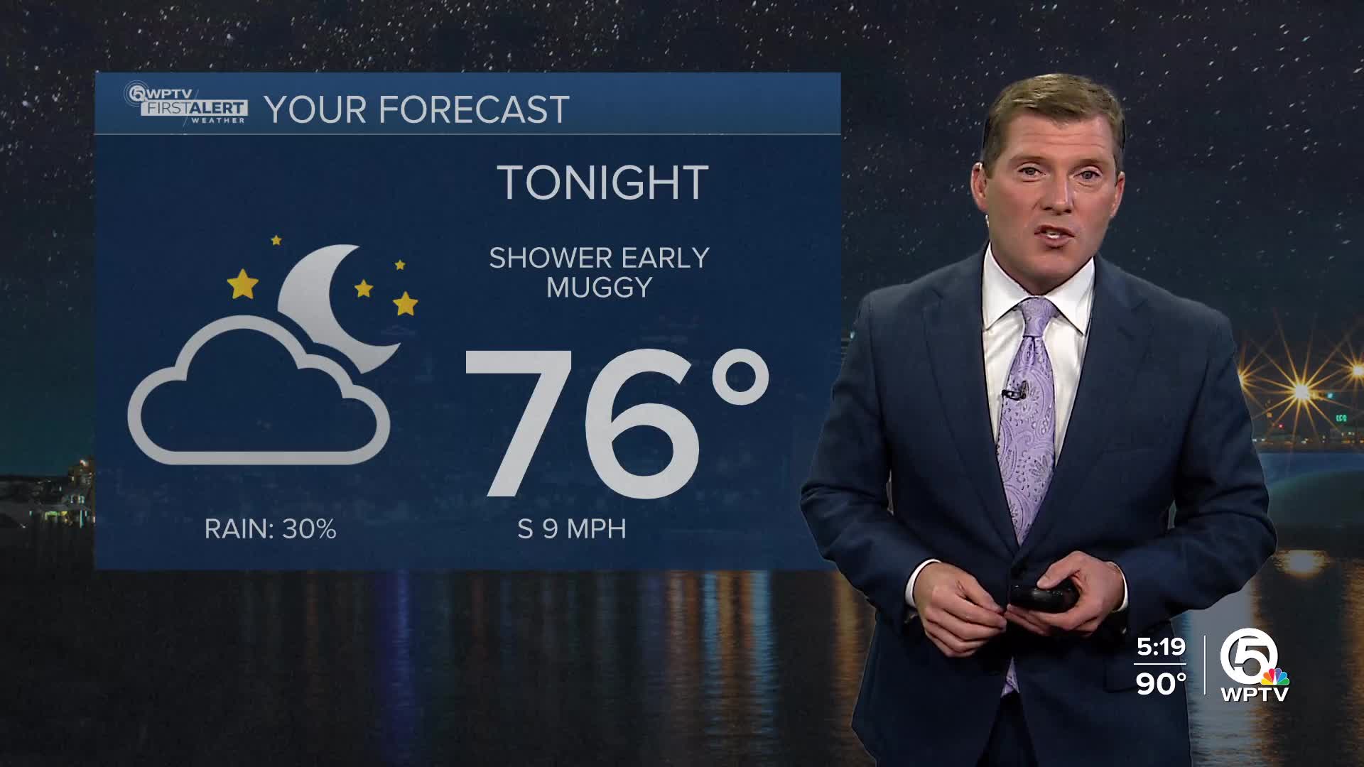
Unfortunately for South Florida, the front gets hung up and slams on the brakes just north of Sebastian. This means no relief for the WPTV television market. Humidity levels may come down just a notch on the Treasure Coast Wednesday, but it will still be humid out there!
MORE WEATHER: Radar | Alerts | 7-Day Forecast | Hourly Forecast
With the front close by to our north, showers and thunderstorms will be possible again over the next couple of days. The coverage, however, is expected to be spotty. Only a handful of you will even see them. If you do pick up a thunderstorm, expect a drenching downpour and brief, strong wind gusts. Otherwise, it remains very hot and humid with highs in the low to mid 90s and heat indices between 100 and 105.
Looking ahead to Labor Day weekend, the overall weather pattern will become more active. Especially on Saturday and Sunday. If you have beach or barbecue plans you'll likely get wet at some point during the afternoon. Remember the rule of thumb when it comes to thunder. If you can hear thunder, you're close enough to be struck by lightning. You have to move indoors at that point.
Any thunderstorm that does develop over the holiday weekend will produce drenching downpours and a lot of lightning.
The tropics remain very quiet and uneventful as we rapidly approach the peak of hurricane season.


