
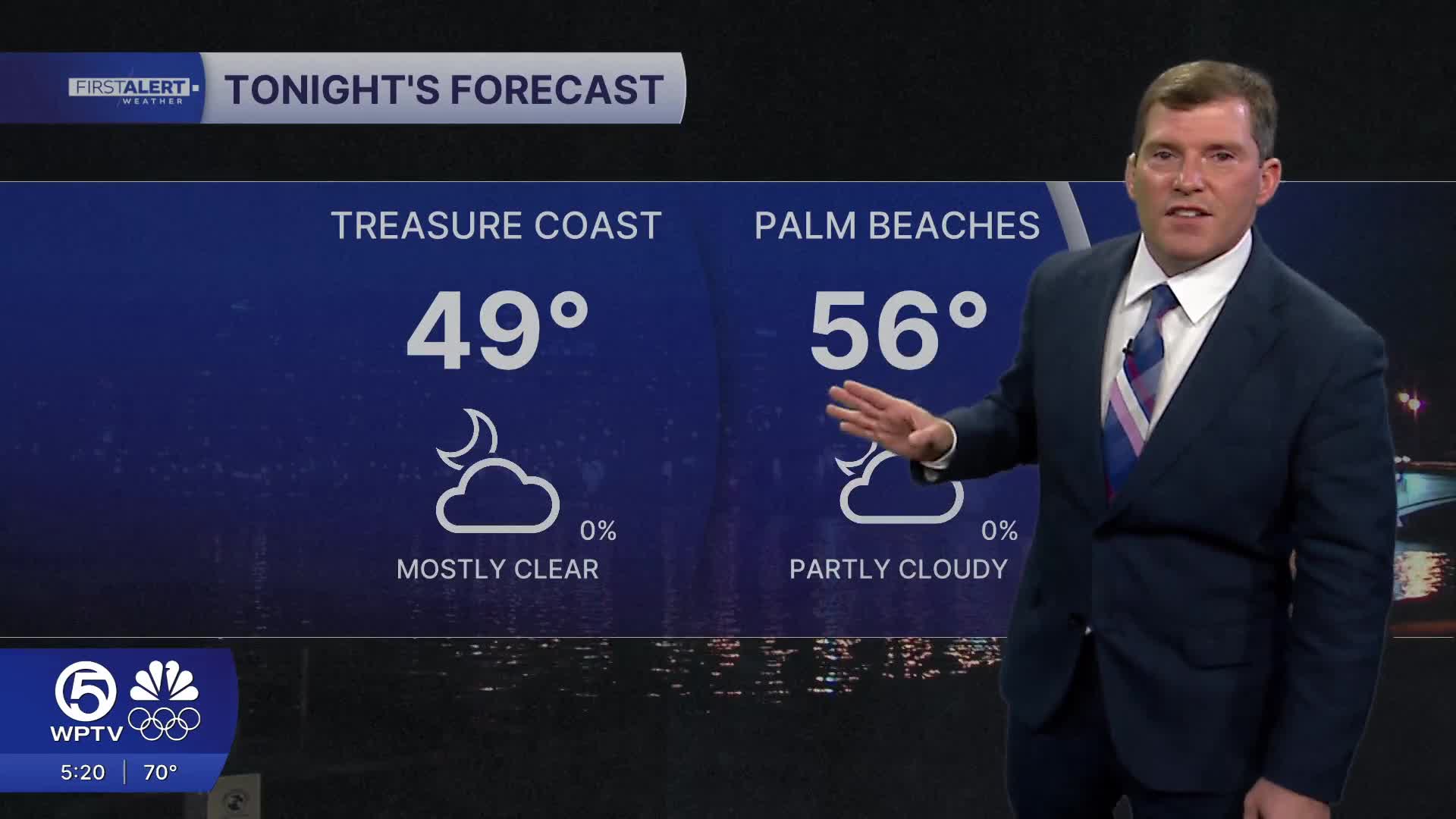


WEST PALM BEACH, Fla. — The nights will remain cool tonight, but not as cold as earlier this week, with upper 50s along the east coast with the upper 40s, near 50 for the northern Treasure Coast and inland.
Friday may bring a few showers, especially to our south, as a weak weather system crosses the peninsula. Overall conditions should stay fairly pleasant with a mix of sun and clouds and mild temps before a major shift arrives this weekend.
Colder Weather This Weekend
That shift comes Saturday afternoon, when a strong cold front barrels through South Florida, ushering in the coldest and driest air mass of the season — and possibly the coldest since December 2010.
Scattered rain showers will move in first in the morning, then clearing through the day.
A Freeze Watch and Extreme Cold Watch are in effect for Indian River, Martin, St. Lucie and Okeechobee counties starting Saturday at 7 p.m. until Sunday at 1 p.m. and for Palm Beach County from 10 p.m. until 10 a.m.

MORE WEATHER: Radar | Alerts | 7-Day Forecast | Hourly Forecast
Near-freezing to sub-freezing temperatures are possible early Sunday, Monday, and even Tuesday mornings, with lows in the 30s potentially reaching as far south as Miami-Dade County.
Gusty northwest winds up to 40 mph could make it feel even colder, with wind chills in the teens to lower 20s. So now is the time to protect plants, pets, and pipes — and secure loose outdoor items before the winds arrive.
**Portions of this story were assisted by artificial intelligence tools and reviewed by a WPTV journalists to ensure accuracy, clarity, and adherence to editorial standards.


