


WEST PALM BEACH, Fla. — Rain chances are lowering for the rest of the work week, but isolated shower and thunderstorm activity is still possible each afternoon/early evening.
MORE WEATHER: Radar | Alerts | 7-Day Forecast | Hourly Forecast
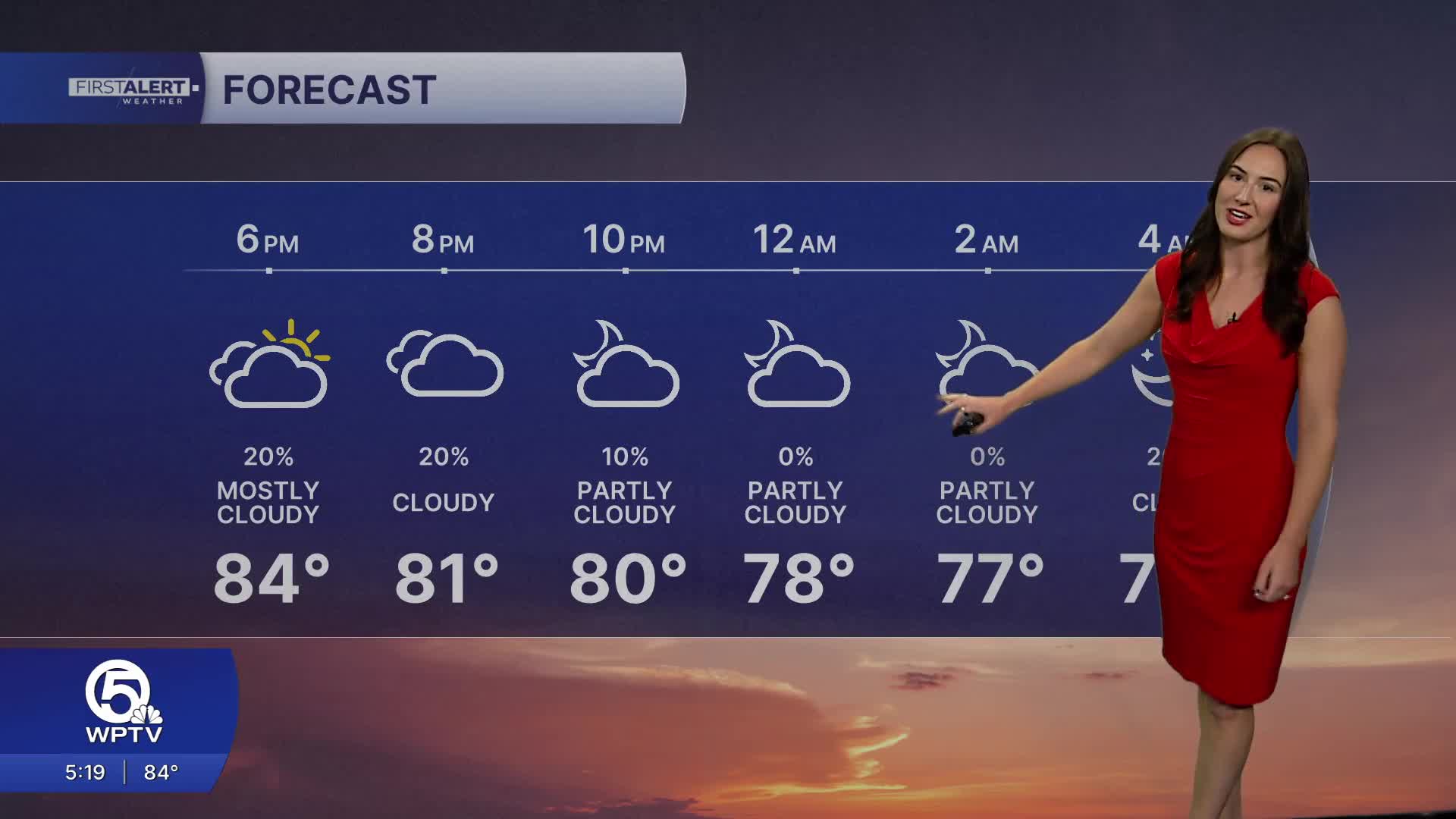
A few showers are possible this evening then skies will partially clear out. Temperatures will remain warm overnight with lows in the lower 70s. A weak cold front is passing through the area and leaving behind slightly drier air.
In fact, Thursday is expected to be a bit drier overall, though sea breeze boundaries and a weakening front could still spark isolated to spotty storms by mid to late afternoon.
Overnight conditions will remain warm, with lows mainly in the upper 60s inland and the 70s along the coast.
Looking ahead to the weekend and early next week, South Florida settles into a more typical summertime weather pattern. Expect warm days, muggy nights, and the chance for afternoon and evening thunderstorms each day, especially inland and across southwest Florida.
While the rain won’t be constant, any additional moisture will be welcome as drought conditions continue in parts of the region. Beachgoers should also be aware of an elevated rip current risk today along the Palm Beaches due to an increasing northeast swell.

**Portions of this story were assisted by artificial intelligence tools and reviewed by a WPTV journalist to ensure accuracy, clarity, and adherence to editorial standards.


