

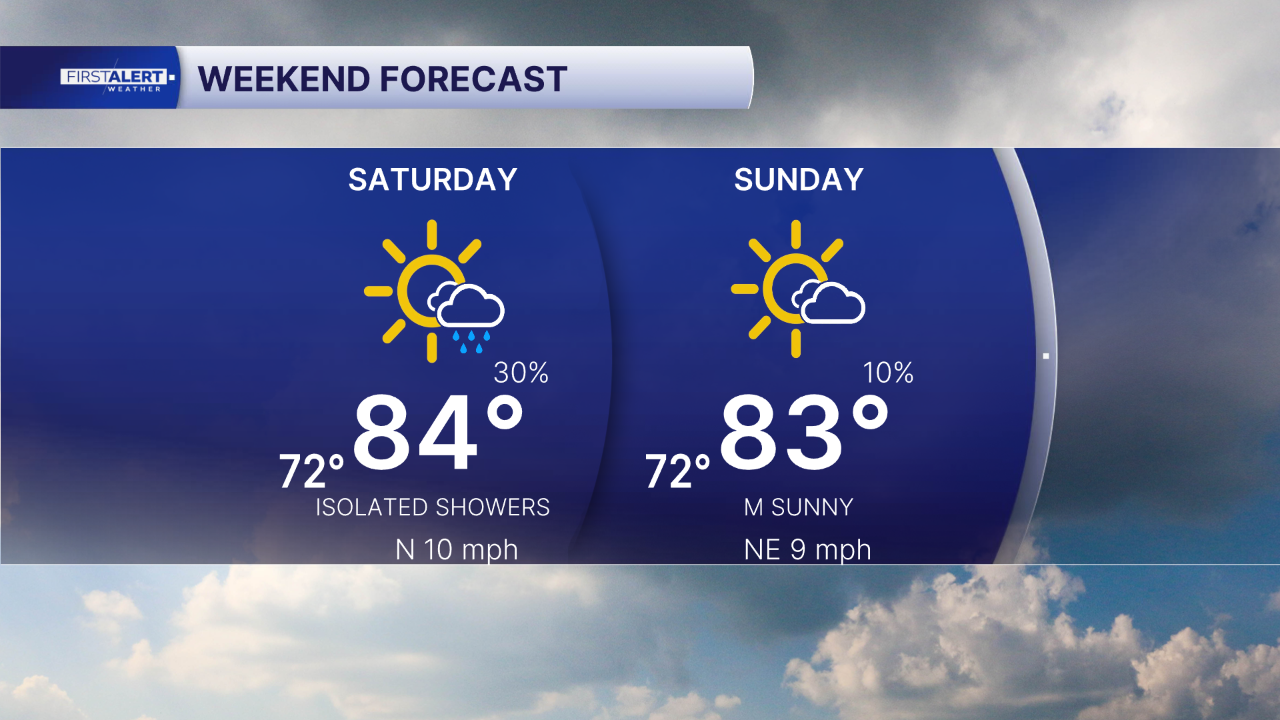


WEST PALM BEACH, Fla. — Happy Saturday! We are heading into the weekend with warm temperatures, a mix of sunshine and clouds, and generally comfortable weather across Palm Beach County and the Treasure Coast.
Today, a weak front is moving through this afternoon, bringing a few passing showers, especially around Palm Beach County. Most neighborhoods will stay dry, with afternoon highs climbing into the lower to middle 80s. Along the Treasure Coast, including Fort Pierce and Vero Beach, rain chances will remain fairly limited.
Tomorrow, expect a little more sunshine and mainly dry conditions as high pressure begins to build across the area. Afternoon temperatures will reach the lower 80s, making it a nice day for outdoor plans.
If you're heading to the beach, keep an eye on ocean conditions. Long-period swells will continue to create an elevated rip current risk, particularly along the Treasure Coast. Always swim near a lifeguard.
MORE WEATHER: Radar | Alerts | 7-Day Forecast | Hourly Forecast
Looking Ahead to Next Week
We'll start the workweek with plenty of sunshine and mainly dry conditions Monday and Tuesday. Temperatures will remain seasonably warm, with highs generally in the lower 80s.
By Wednesday, moisture begins to increase, bringing back a few showers. Our attention then turns to a potentially stronger cold front approaching Thursday into Friday. This system could bring a better chance for showers and isolated thunderstorms before ushering in noticeably cooler air.


