


WEST PALM BEACH, Fla. — After a break over the weekend, deep tropical atmospheric moisture is moving back into the region again. This, combined with sea breeze boundaries created huge downpours Monday afternoon. The setup looks similar on Tuesday and Wednesday.
MORE WEATHER: Radar | Alerts | 7-Day Forecast | Hourly Forecast
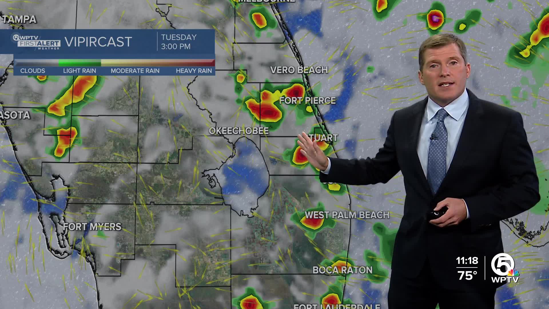
If you have outdoor plans, the first part of both days will likely be dry (just a spotty shower or downpour), but after lunchtime thunderstorms should fire up pretty quickly. A very subtle boundary draped across northern Florida may then drop south by the end of the week. If so, this will act like a kicker, pushing all of this tropical moisture off the coast allowing the weather pattern to settle down.
BEACH FORECAST
There is a HIGH RISK for rip currents along the Treasure Coast through Tuesday night. Otherwise, beach goers should expect a lot of sunshine to start with an afternoon thunderstorm in spots. Light northerly winds 5-10 mph.
BOATING FORECAST
Perhaps a little bumpy at times for the boaters with seas of 2 to 3 feet. A light chop is expected for the intracoastal waters.
7-DAY FORECAST
Tonight: A heavy evening thunderstorm is possible, otherwise, partly to mostly cloudy overnight. Lows in the mid 70s from the Treasure Coast down to the Palm Beaches.
Tuesday: Scattered afternoon thunderstorms. Hot and humid. High 88. Heat Index 102.
Wednesday: Scattered afternoon thunderstorms. Hot & Humid. High 90.
Thursday: Not as active, but an afternoon thunderstorm is still possible in parts of the area. Another hot and humid day. High 91.
Friday: Mostly sunny, hot and humid. A spotty thunderstorm is possible. High 91.
Saturday: Mostly sunny, hot and humid. A spotty thunderstorm is possible. High 91.
Sunday: Sun and clouds, hot. An afternoon thunderstorm is likely in spots. High 89.
Monday: Hot and humid with a spotty thunderstorm. High 90.
THE TROPICS
The Atlantic basin is getting very active now with three areas to watch. First up is Hurricane Gabrielle, a major category 4 storm, continues to pull away from the island of Bermuda. Moving northeast over the open waters, this is nothing more than a fish storm. Two tropical waves have formed just east of the Leeward Islands. The wave farthest from the islands will likely curve north and out to sea like Gabrielle did. But the other wave could be problematic. As of this writing this wave is being forecast to develop into a tropical depression by the weekend as it moves northeast and approaches the Bahamas. The likely scenario with this is also a curve to the north. The big question though is how close will this storm get to the United States mainland before the curve takes place. Regardless, like the first wave, this one does not appear to be a threat to the state of Florida. We'll have to keep a very close eye on it though.


