


WEST PALM BEACH, Fla. — As the cold front moves south of the Florida Keys, cooler, drier air settles in behind it. Overnight lows drop into the upper 50s inland and mid-60s near the coast.
Tuesday's high temperatures will range from the upper 70s for the Treasure Coast and Okeechobee to low 80s for Palm Beach County.
MORE WEATHER: Radar | Alerts | 7-Day Forecast | Hourly Forecast
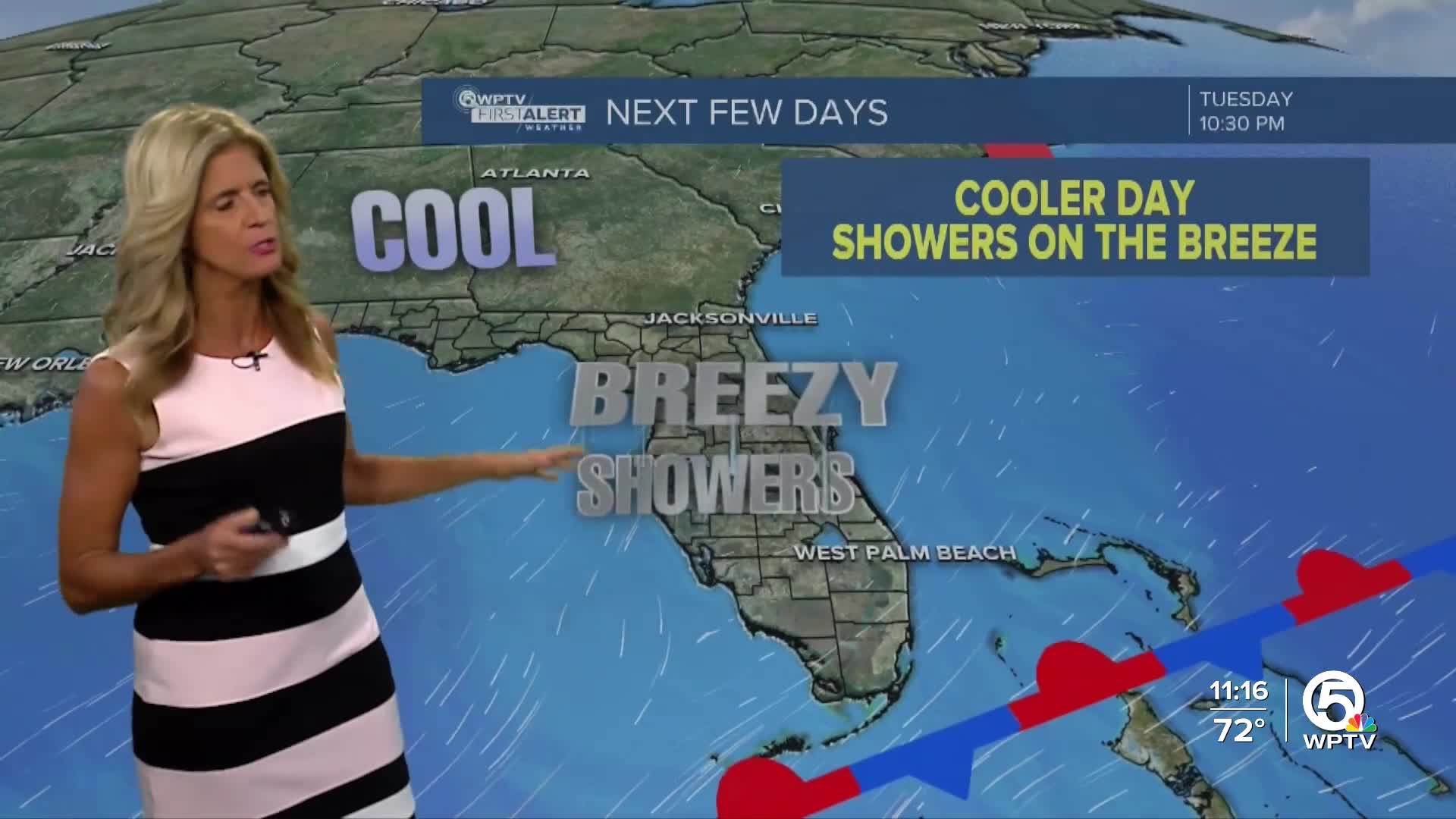
Tuesday will feel noticeably cooler, with highs in the mid-70s and lower humidity. A breezy NE wind will keep more clouds than sun throughout the day, with a few quick, brief showers along the breeze.
From Wednesday through the end of the work week, high pressure builds over the region, keeping things mainly quiet. Expect dry weather with pleasantly cool mornings, the mid-50s inland, Treasure Coast, and mid-60s along the Palm Beaches, and afternoons in the mid to upper 70s.
We're watching another cold front late in the week, but confidence is still low on its timing and strength. Right now, it looks weaker and slower, which would lead to a mostly dry passage with limited showers mainly over the Atlantic waters and the East Coast as moisture lingers just to our south.


