

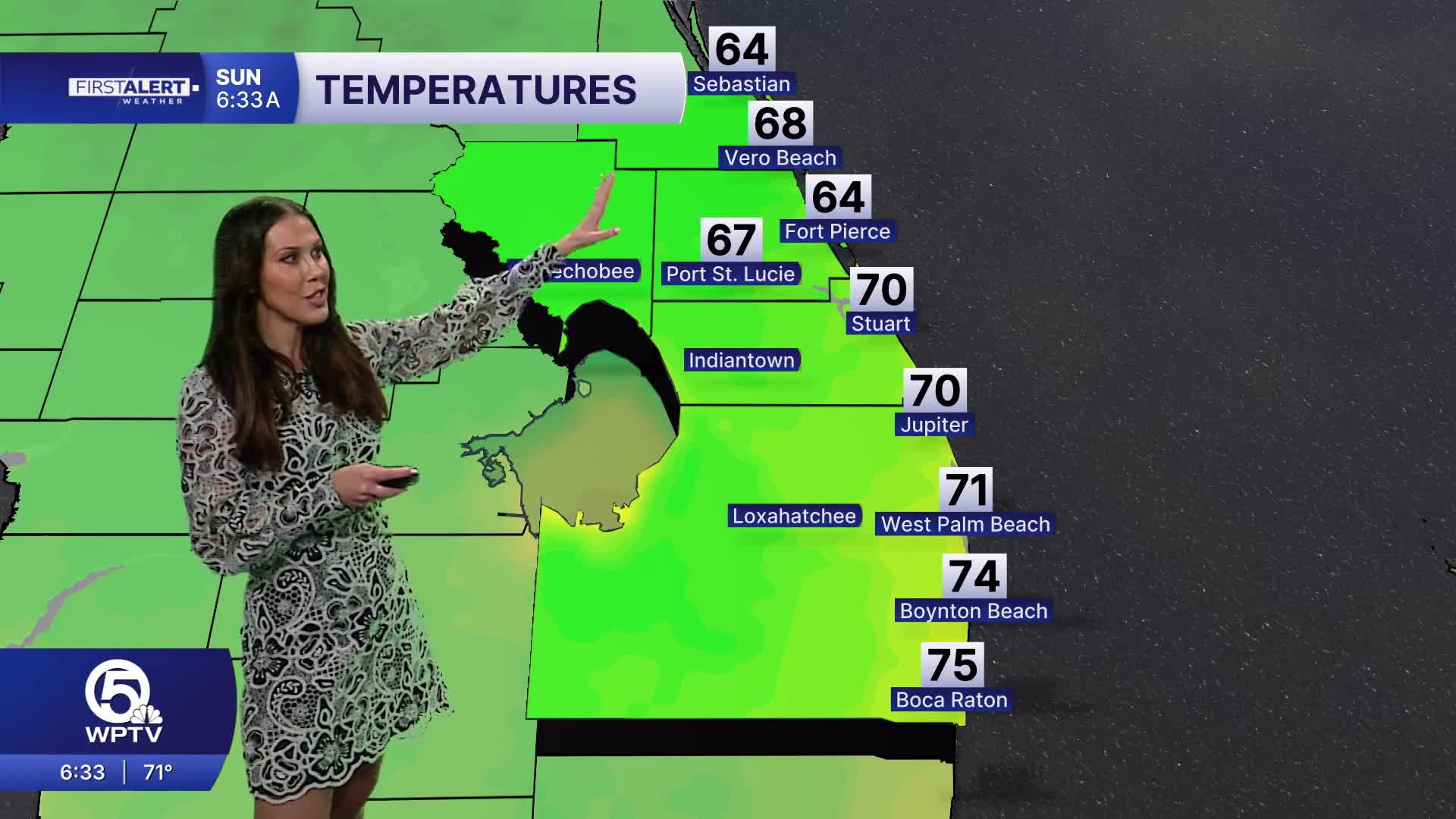


WEST PALM BEACH, Fla. — Today is shaping up to be one of the nicest days we've seen.
Much drier air has settled across the region, bringing lower humidity, temperatures in the mid-80s and virtually no rain.
Despite the pleasant weather on land, the Atlantic remains rough.
A high risk for rip currents continues along Atlantic beaches, with rough surf and breaking waves of 3 to 6 feet along the Treasure Coast. Boating conditions also remain hazardous Sunday morning before seas gradually improve into Monday.
In Palm Beach County, a Coastal Flood Advisory remains in effect through 1 p.m. Sunday. King tides could produce minor to moderate coastal flooding around high tide, especially in vulnerable low-lying coastal areas.
MORE WEATHER: Radar | Alerts | 7-Day Forecast | Hourly Forecast
Monday brings another mostly dry day, but the pattern begins changing Tuesday as deeper moisture returns.
Shower and thunderstorm chances increase Tuesday and Wednesday.


