



WEST PALM BEACH, Fla. — After hot and humid days followed by rounds of frequent showers and thunderstorms, a much quieter weather pattern has arrived across South Florida. Drier air moving into the region will keep rain chances low this weekend, with only a few isolated showers possible along the immediate southeast Florida coast Saturday afternoon and evening.
Highs will still reach the upper 80s Saturday and Sunday, but the bigger change will come overnight. Temperatures Saturday night will fall into the low and mid-60s near Lake Okeechobee, with upper 60s and lower 70s elsewhere. West Palm Beach and Boca Raton are forecast to fall to around 70 degrees.
MORE WEATHER: Radar | Alerts | 7-Day Forecast | Hourly Forecast
Despite the improving weather over land, conditions along the Atlantic coast remain hazardous.
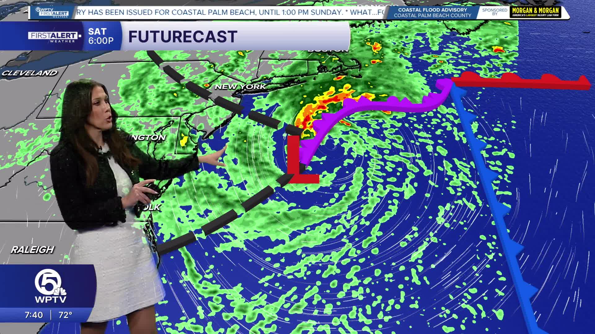
A northerly to northeasterly swell generated by a strong system over the northeastern United States will keep seas around 6 to 8 feet through Sunday morning. A High Rip Current Risk remains in effect along Atlantic beaches through Sunday evening, while a High Surf Advisory remains in effect for the Palm Beaches through Saturday evening, where breaking waves could reach 7 to 8 feet.
The weekend king-tide cycle is also increasing the coastal flooding threat.
A Coastal Flood Advisory is in effect for coastal Palm Beach County through Sunday afternoon. The National Weather Service says observed water levels have recently been running higher than forecast guidance, increasing the possibility of minor to moderate coastal flooding around high tide.
Residents and visitors near vulnerable coastal areas should be prepared for water covering some low-lying locations during peak high-tide cycles.


