


WEST PALM BEACH, Fla. — Memorial Day brings another classic early-summer weather pattern across the Treasure Coast and Palm Beaches, with breezy onshore winds, dangerous surf conditions, and afternoon storms focused inland.
Most coastal communities, including Sebastian, Vero Beach, Fort Pierce, Stuart, Jupiter, West Palm Beach, and Boca should stay mainly dry through much of the daytime hours outside of a few isolated passing showers drifting in from the Atlantic this morning.
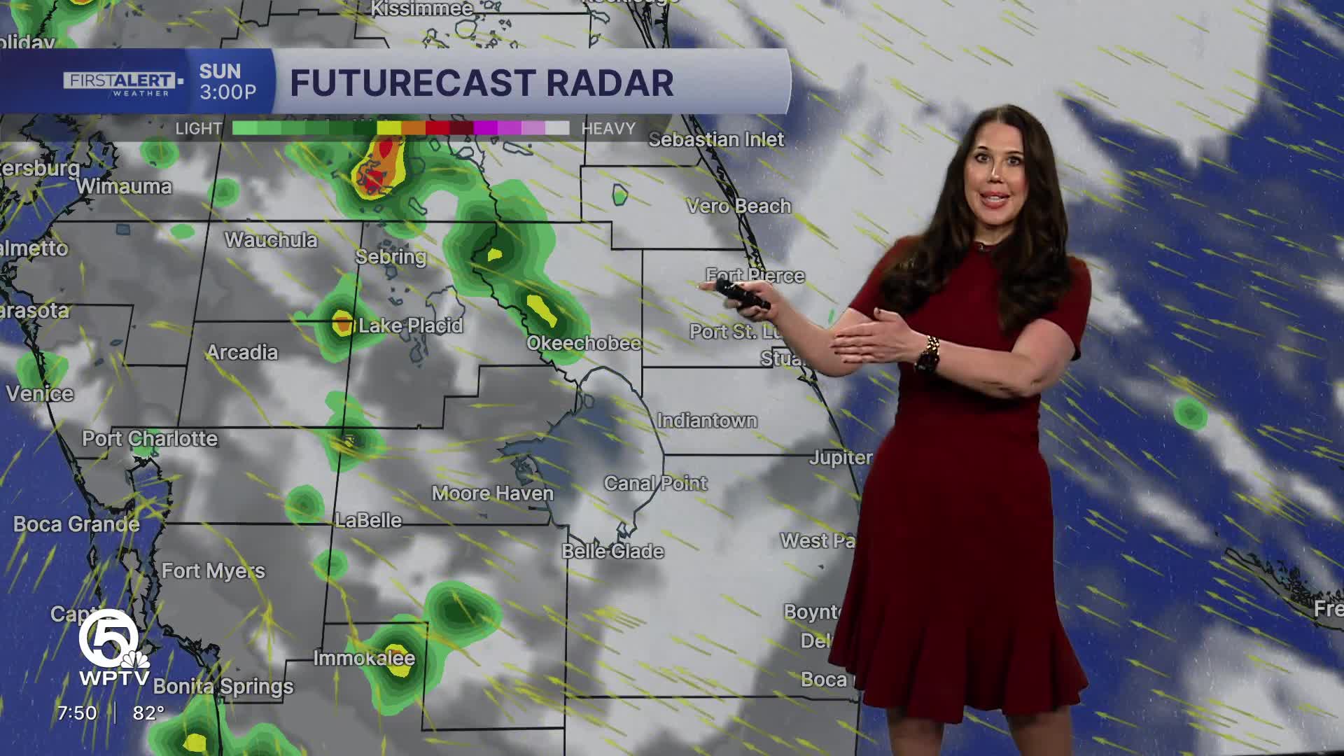
MORE WEATHER: Radar | Alerts | 7-Day Forecast | Hourly Forecast
The biggest concern today remains the dangerous surf conditions.
A high risk of life-threatening rip currents continues at Atlantic beaches, and entering the water is strongly discouraged. Beachgoers should follow all posted warning flags and advisories and avoid entering the surf today.
As the sea breeze pushes inland this afternoon, scattered showers and thunderstorms are expected to develop mainly west of I-95 and farther inland toward Okeechobee and the western interior.
Storms that develop may produce:
- Frequent lightning
- Gusty winds 40–45 mph
- Brief downpours
- Localized ponding of water
Overall storm coverage remains fairly limited near the coast, with the best rain chances staying inland through the evening hours. Temperatures this afternoon climb into the upper 80s near the coast and low 90s inland with heat index values pushing into the upper 90s.
Rain chances remain fairly limited through Tuesday before a more active and unsettled weather pattern develops later this week.
Forecast confidence continues to increase for:
- More widespread rain
- Greater storm coverage
- Periods of heavy rainfall
- Localized flooding concerns


