


WEST PALM BEACH, Fla. — For the Palm Beaches and the Treasure Coast, summer heat remains the dominant weather story through the week.
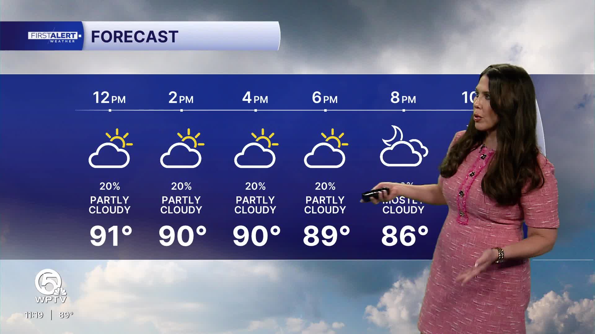
Expect a mix of sunshine and developing clouds each day, with temperatures climbing into the upper 80s near the coast and the lower to middle 90s inland.
MORE WEATHER: Radar | Alerts | 7-Day Forecast | Hourly Forecast
When humidity is factored in, afternoon heat index values will frequently reach 100 to 108 degrees, creating potentially dangerous conditions for anyone spending extended time outdoors.
This afternoon, scattered thunderstorms are expected to develop along and inland of the sea breeze boundary. The highest storm coverage will generally be west of Interstate 95 and across inland sections of Palm Beach County, Martin County, St. Lucie County, Indian River County and near Lake Okeechobee.
Any storm that forms may produce frequent lightning, torrential downpours, and gusty winds. Coastal communities will see fewer storms, but cannot rule out a brief late-day shower or thunderstorm.
Looking ahead through the middle and latter part of the week, a typical late-June pattern continues with hot, humid mornings followed by scattered afternoon and evening thunderstorms.
Storm coverage may become a bit more widespread at times, helping to temper temperatures slightly but increasing the risk of localized heavy rainfall and lightning. Daily rain chances will generally be around 30%.
**Portions of this story were assisted by artificial intelligence tools and reviewed by a WPTV journalists to ensure accuracy, clarity, and adherence to editorial standards.


