


WEST PALM BEACH, Fla. — As we round out a beautiful weekend, we will have one last chillier night before our weather pattern starts to change.
By early Monday morning, lows will fall into the middle-upper 50s for the Treasure Coast and inland spots with the lower 60s expected for the Palm Beaches. We will be watching for patchy fog to develop inland around sunrise.
MORE WEATHER: Radar | Alerts | 7-Day Forecast | Hourly Forecast
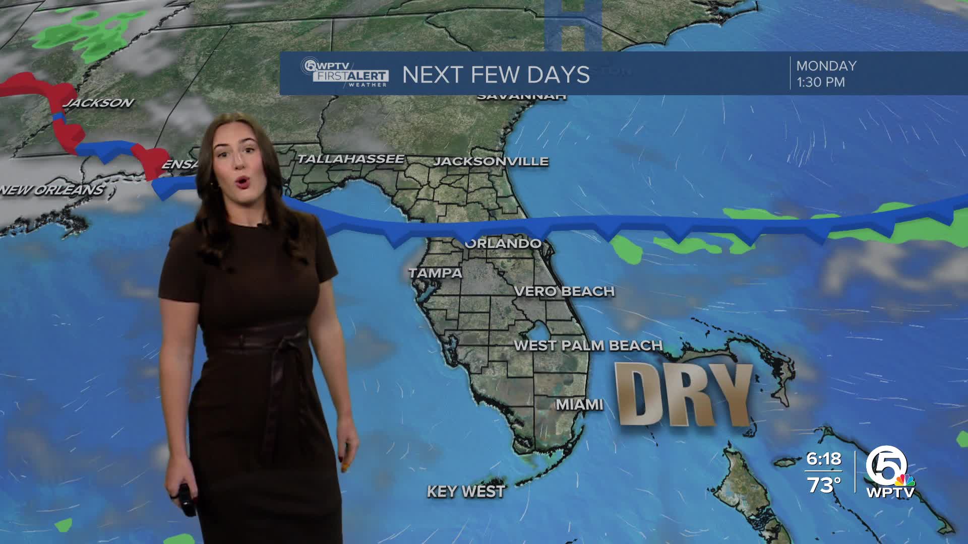
A moisture-starved front slides toward Florida early Monday, but it will lose steam before reaching our area. The only noticeable change will be a shift in winds.
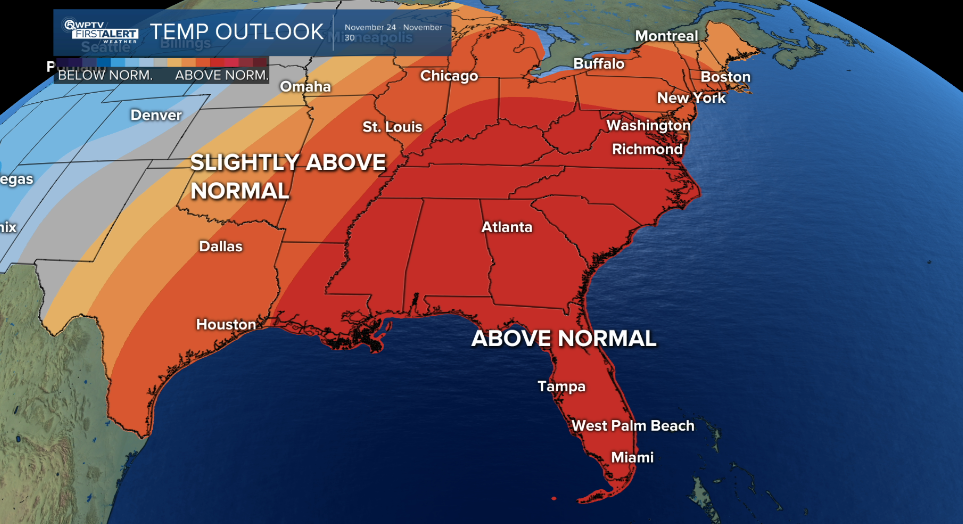
From Tuesday through Friday, we will have onshore winds which will increase the moisture and push temperatures above normal. Highs in the low 80s at the coast, middle 80s inland. Lows will range from the middle to upper 60s.
Still, the atmosphere remains too dry for meaningful rain. At most, a brief, isolated coastal sprinkle could pop-up Tuesday.
Looking towards Thanksgiving week, temperatures will continue to trend on the warmer side.
However, we could be tracking slightly higher rain chances towards the end of the month. We will keep you updated as we get closer to the holiday.


