


WEST PALM BEACH, Fla. — Our first true cold front of the season is ushering in drier air and slightly cooler temps too. This will be much needed relief after a very soggy stretch this past workweek.
Look for mostly sunny skies Sunday with high temps peaking in the mid 80s. Behind the front, dew points will drop into the upper 60s, signaling slightly less humidity.
Although our overall weather is improving, several marine hazards will pose problems for boaters and beach goers. . NE swells will create rough surf with seas running 5-7 feet and a high risk of rip currents. There is a small craft advisory in effect until 2pm Sunday.
A coastal flood advisory remains in place for moderate coastal flooding that may continue around high tide, particularly for vulnerable low-lying spots along the Palm Beaches. High tide on Sunday occurs around 1:27 PM at Lake Worth Pier. The threat of coastal flooding diminishes by Monday.
MORE WEATHER: Radar | Alerts | 7-Day Forecast | Hourly Forecast
Our nice stretch of weather continues into the workweek - so you can leave your umbrellas at home.
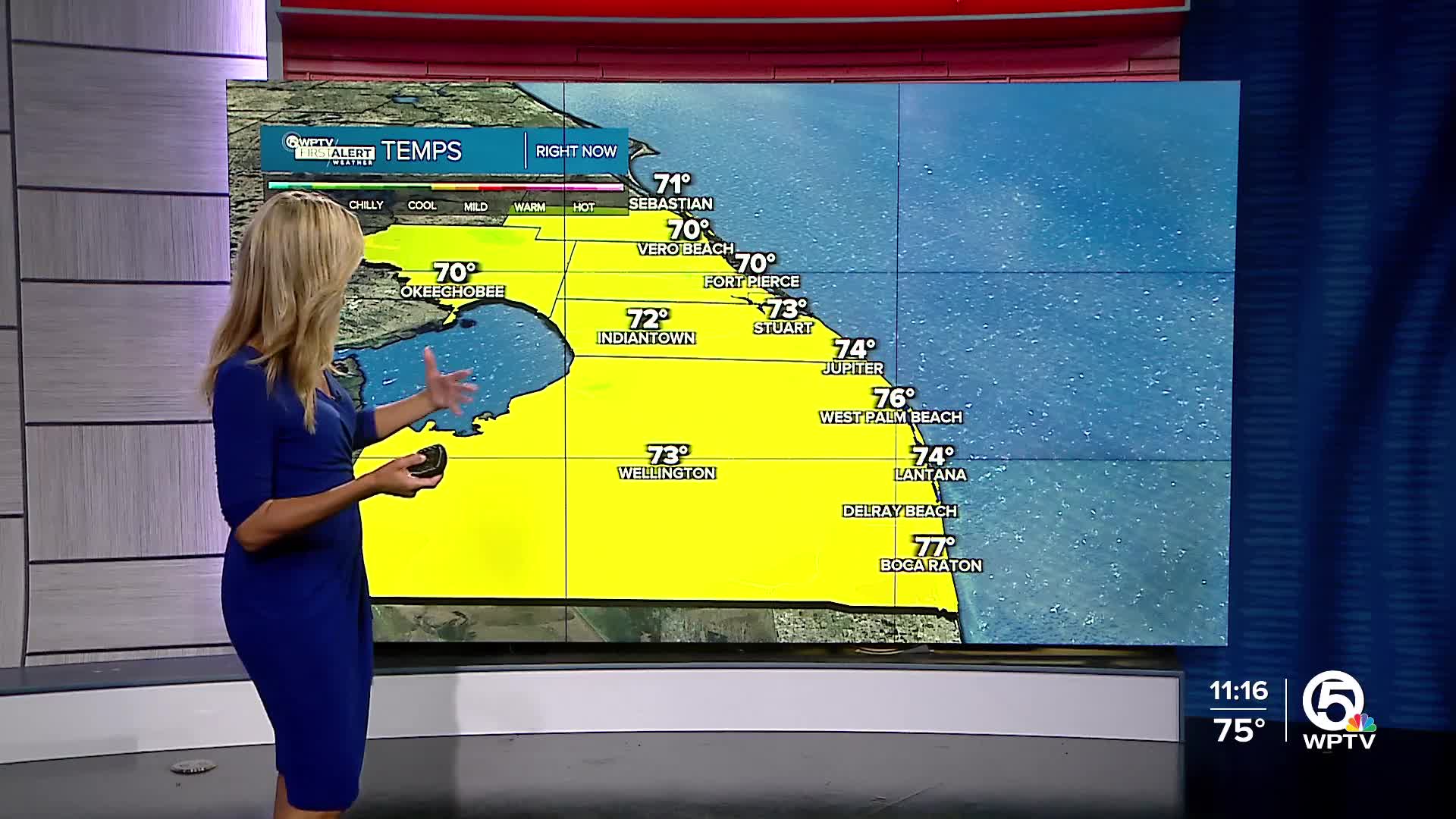
Seasonable temps and low humidity will make the weather feel quite comfortable. Overnight lows the next few nights will dip into the upper 60s for most. A few spots at the immediate coast will likely stay in the low 70s whereas inland areas could see overnight lows close to 60 degrees. A few isolated showers could sneak into southern areas from time to time, but widespread rain or thunderstorms aren’t expected.


