
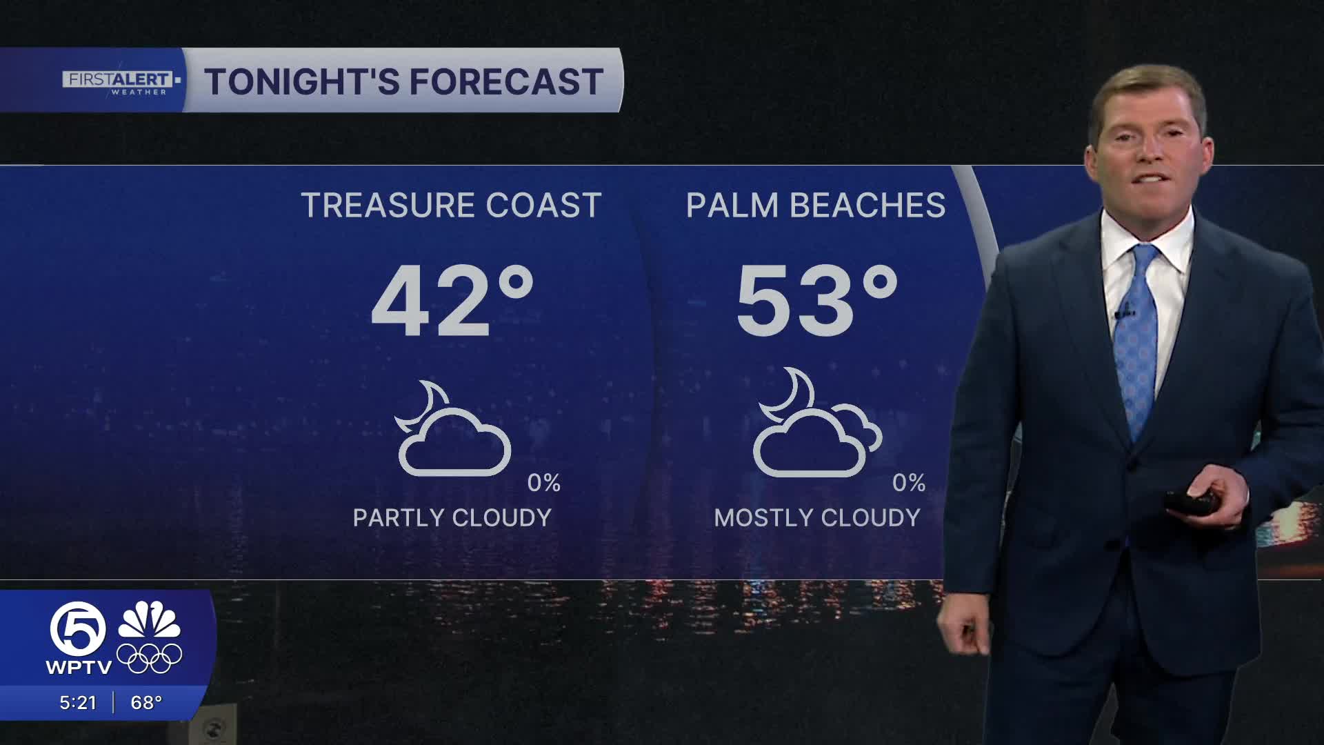


WEST PALM BEACH, Fla. — Look for a seasonably cool night across the area as lows drop into the lower 50s near the immediate coast and mid to upper 40s for inland and northern zones.
Skies will stay partly to mostly cloudy tonight as onshore winds brings some moisture off the Atlantic.
At the surface, high pressure currently centered over the Florida Peninsula will gradually shift into the western Atlantic tonight into Wednesday.
A warm southerly wind develops tomorrow ahead of our next cold front. As moisture moves in on the breeze, there is a 20% chances of some brief showers.
MORE WEATHER: Radar | Alerts | 7-Day Forecast | Hourly Forecast
Meanwhile, some marine hazards ( High surf Advisory) have expired as waves decrease to 3-6 feet for Wednesday. However a high risk of rip currents remains through Thursday AM.
Overnight conditions will be cool but not cold, and for the first time in days, no cold weather advisories are in place.
Overnight lows will dip into the lower 40s across inland areas and mid to upper 40s for the Treasure Coast. Coastal communities stay milder in the 50s.
Wednesday will be our warmest day this week with high temps back in the mid to upper 70s!
MORE WEATHER: Radar | Alerts | 7-Day Forecast | Hourly Forecast
Rain chances increase briefly on Thursday as the the next cold front moves through, though rainfall looks light and spotty, with the best chances near Lake Okeechobee and southwest Florida.
Unfortunately, meaningful drought relief isn’t expected. Behind the front, cooler air returns to end the workweek, and some inland areas could flirt with chilly conditions again Friday morning, but not as extreme as the last one.
The weekend looks dry with a slow warming trend, bringing temperatures back closer to normal heading into early next week — a calmer finish after a roller-coaster forecast.
Right now next week looks on the mild side with temps near seasonable norms.
**Portions of this story were assisted by artificial intelligence tools and reviewed by a WPTV journalists to ensure accuracy, clarity, and adherence to editorial standards.


