

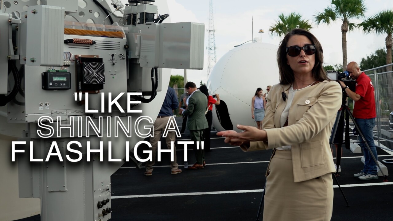


LEE COUNTY, Fla. — A new supplemental radar going up at the Fort Myers Public Safety Center is expected to be operational within days following a WPTV investigation that highlighted what radar experts said was a weather gap across Florida.
WATCH BELOW:
The installation is the first of four new radars planned for Florida by Climavision, the weather technology company working to close significant low-level radar coverage gaps across the state.
Wednesday crews prepped for the installation at the Public Safety Center in Fort Myers. The radar is expected to be up and running within days.
"Everybody got to touch the radar, have some technology conversations with some on our met team, really get to view it and see it before it goes and lives up on the roof, and also celebrate the public-private partnership that we have with Lee County and with other partners along the way," said Tara Goode, vice president of radar operations at Climavision.
In May, WPTV reported on major gaps across Florida in low-level radar — the critical altitude for detecting tornadoes, flash flooding, and other dangerous storms. One of the state's largest gaps stretches from Lee County through Palm Beach and southern Martin counties.
That report followed a previous WPTV investigation that found two failures during Hurricane Milton on Oct. 9, 2024: emergency alerts that dozens of residents in western Palm Beach County said were never sent to their phones, and tornado warnings issued minutes too late in southern Martin County. Both areas fall inside the low-level radar gap. That same day, 126 tornado warnings were issued and at least 45 tornadoes struck southeast Florida.
"If we can't see it, then we can't act on it. We can't plan for it. We can't prepare or respond," Goode said.
Goode said the new Fort Myers radar will give forecasters a better view of storms moving toward the Treasure Coast and Palm Beach County.
"So as that weather, whatever the pattern is, moves into the state of Florida from the west side, that will give some visibility to forecasters to public safety who are you know closer to the east coast of Florida and need to understand what might be coming their way," Goode said.
Goode said radar works in layers. Upper-level radar scans 10,000 feet and above, tracking storm structure. Mid-level radar covers around 6,000 feet. Low-level radar, near 3,000 feet, is the most critical tier for spotting flash flooding and tornadoes — and the one with the most gaps.
Jason Hallstrom, executive director of Florida Atlantic University's Sensing Institute, previously told WPTV the gap carries real consequences.
"When you have gaps, it takes longer for the underlying models to understand what is going to happen in those areas," Hallstrom said.
Former National Weather Service meteorologist Brian Lamarre has also warned that new research shows tornadoes are forming closer to the ground, making low-level radar more important than ever.
"As you go farther away from those radars, you're not seeing the lower level of the atmosphere," Lamarre said. "So therefore we're not going to see some of the tornadoes that may be spinning up in the lower levels of the atmosphere, some of the waterspouts that may come inland from the Gulf and actually do damage."
The Fort Myers installation is the first of four new Climavision radars planned for Florida. One of those will be installed in Palm Beach County, potentially within the next year.
Experts have been clear, however, that supplemental radar alone is not a complete solution.
"Is it enough? Absolutely not," Hallstrom said.
"I think it is a start. I think Florida needs many more than just four of these X-band weather radars across the area," Lamarre said.
This story was reported on-air by a journalist and has been converted to this platform with the assistance of AI. Our editorial team verifies all reporting on all platforms for fairness and accuracy.