


MIAMI — The National Hurricane Center is tracking an area of disturbed weather in the Gulf of Mexico that has a low chance of developing into a tropical depression over the coming days.
The NHC said an area of low pressure in the eastern Gulf is producing "disorganized showers and thunderstorms," and will bring rounds of heavy rain to South Florida.
"This system is expected to move northeastward across Florida during the next day or so and offshore of the U.S. Southeast coast later this week," the NHC said.
That's where it has the best chance to develop. Upper level winds are not favorable for any rapid development, as shear remains high.
The NHC is giving this area a 20% chance of developing into a tropical depression over the next seven days when the system is offshore of the U.S. east coast.
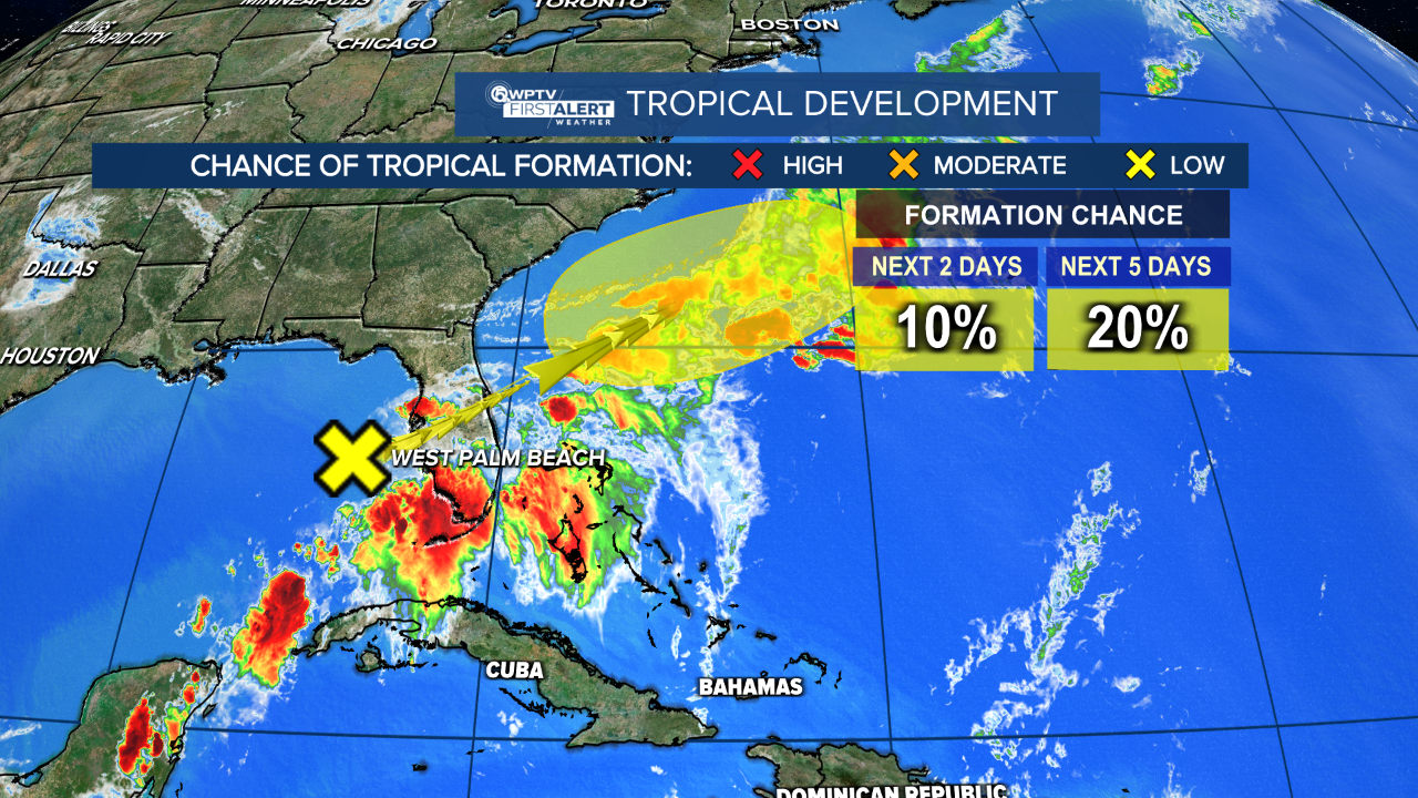
However, the agency admits that "environmental conditions are expected to be generally unfavorable" for development. So it only has a small window of time to organize once it gets into the Atlantic.
Regardless, heavy rainfall is expected across Florida over the next few days.
A flood watch for Palm Beach County has been extended through Thursday due to seeing another round of soaking rain on Wednesday.
Other counties that aren't included in this warning should still be on high alert for flooding issues across the area.

WPTV First Alert Weather chief meteorologist Steve Weagle said rainfall totals range from 4" to 7" inches through Friday, with more rain expected over the weekend, too.
Weagle added the ground is dry and should be able to handle most of this additional rain.


