


WEST PALM BEACH, Fla. — It is going to be another hazy and steamy day outside in South Florida.
High temperatures in the upper 80s are expected to some nearing the lower 90s.
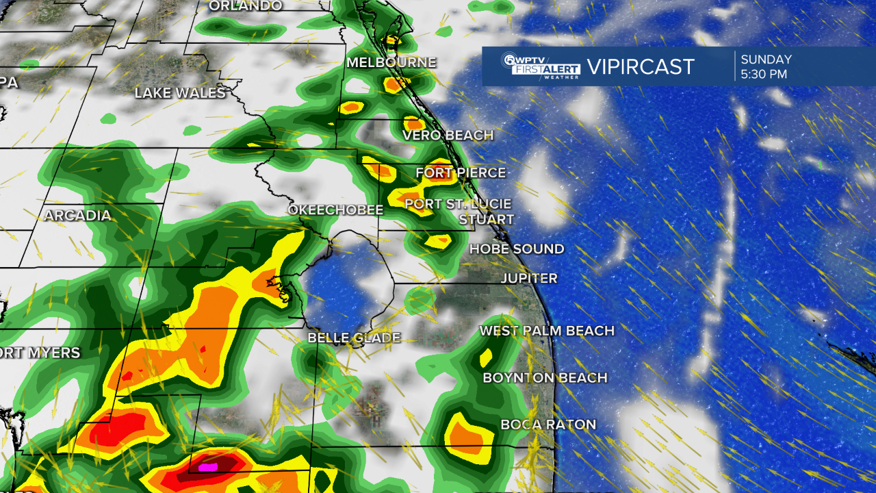
Rain chances will be higher today with more scattered-like showers and storms expected this evening.
MORE WEATHER: Radar | Alerts | 7-Day Forecast | Hourly Forecast
This upcoming week will be quite active as we lose the effect of the Saharan dust. The plume will dissipate and the chance for scattered showers and storms will increase.
Monday will be isolated storms in the evening. High temperatures will be in the upper 80s to some nearing 90.
Tuesday will be less active with isolated storm activity. High temperatures will be a little hotter in the lower 90s for most. It will be a bright day featuring mainly sunny skies.
When Wednesday rolls around it will be a change in the pattern. Expect scattered afternoon and evening storms. High temperatures will be in the lower 90s. It will be a hot, awfully humid, and wet pattern.
We will continue this pattern through Friday, July 4th. We will continue to monitor the chance of storms closely and look for the sea breeze setup for your Independence day forecast. As of now, it is looking to be on the iffy side. We will fine tune this forecast as we get closer.

Tropical Depression Two will likely become Tropical Storm Barry by late Sunday. A tropical storm warning is in effect for locations along the Gulf Coast of Mexico due to tropical storm strength winds and heavy rainfall. The system will be short lived as it likely weakens by early Monday morning. This does not pose a threat to the United States or Florida.


