


WEST PALM BEACH, Fla. — Scattered intermittent showers will continue overnight into Friday morning. A flood watch continues for Martin, St. Lucie and Indian River counties through Friday evening.
Deep moisture will continue to surge across the area with scattered to widespread showers and thunderstorms expected, especially during the afternoon and early evening hours.
MORE WEATHER: Radar | Alerts | 7-Day Forecast | Hourly Forecast
The setup involves a frontal boundary slowly pushing down from the north, while lingering tropical moisture surges in from the south. That combo means there's plenty of fuel for storms, and with moisture levels running high, heavy downpours could lead to localized flooding.
Some storms might even produce some high wind gusts with strong winds due to a nearby trough, adding a bit of instability.
Along the coast, marine and beach conditions will be gradually improving as we head into Friday. However, minor to moderate coastal flooding is still possible throughout the week thanks to the ongoing King Tide, so it’s something beach goers and waterfront residents should keep an eye on.
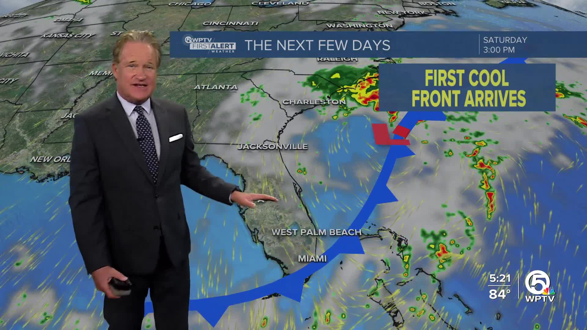
By the weekend, a shift in the weather pattern is expected. As the front stalls out and a non-tropical low develops further north, drier and more stable air will start pushing into the region. That means rain chances drop significantly after Saturday, and we’ll finally get a break from the humidity and heat.
Expect a noticeable dip in temperatures with daytime highs settling into the low to mid-80s, and nighttime temps dropping into the mid to upper 60s inland. It looks to be our first real hint of the fall season in South Florida.


