



WEST PALM BEACH, Fla. — Our stormy and soggy pattern will continues Sunday with plenty of atmospheric moisture and instability.
An upper-level low parked over our region will continue to bring us widespread showers and storms through the rest of the weekend.
Light SE flow at the surface will keep storms moving from east to west through the day.
Models are once again showing highest rain coverage for the first half of the day - with coastal areas starting to clear by mid-afternoon.
Inland activity will wind down Sunday evening.
Areas that don't see as much rain will see higher temps. Factor in the humidity - and feels like temps will peak between 100 - 107 degrees.
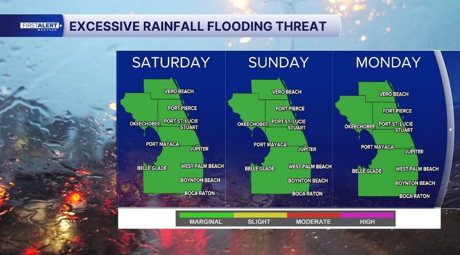
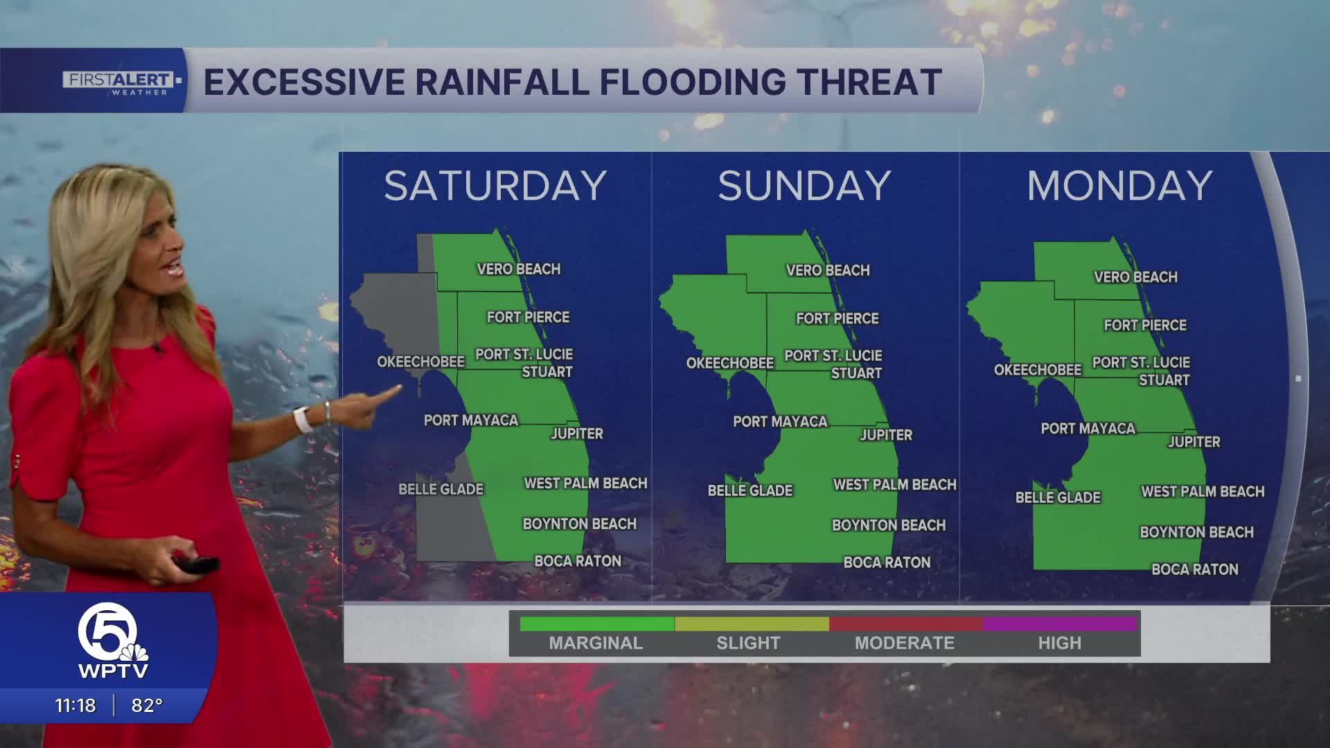
We have a marginal risk of flooding on Sunday - so remember to turn around - don't drown.
There will be dry times to get outside - but remember that thunderstorms can develop quickly, and you should use the WPTV radar to keep an eye on things.
A moderate risk of rip currents is expected along area beaches as an onshore wind combines with a developing long-period swell.
Always swim near a lifeguard, pay attention to posted beach flags and get out of the water if you hear thunder.

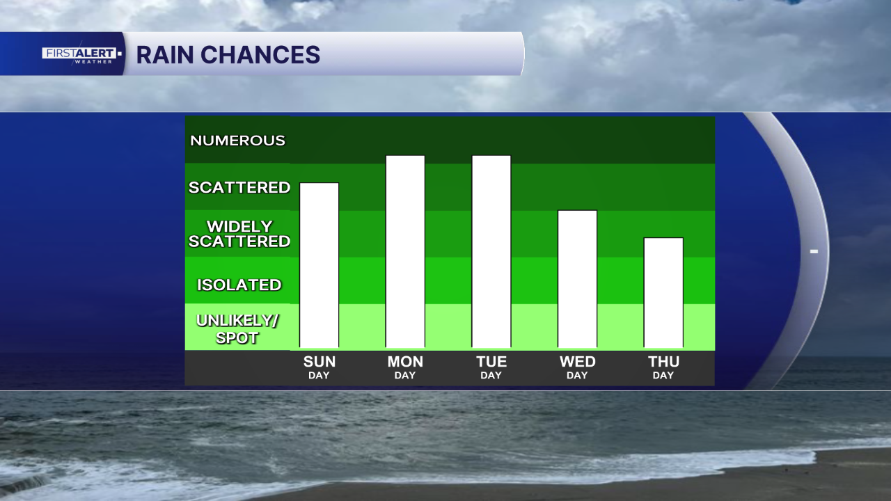
During the workweek - high end rain chances continue - however the highest coverage looks to stay inland with a steady easterly flow.
Boating conditions remain favorable outside of thunderstorms. Generally seas around 2 feet and a moderate chop on the Intracoastal.
MORE WEATHER: Radar | Alerts | 7-Day Forecast | Hourly Forecast


