


WEST PALM BEACH, Fla. — A quiet, yet warm night for us. Temperatures will drop into the mid-to-upper 70s overnight.
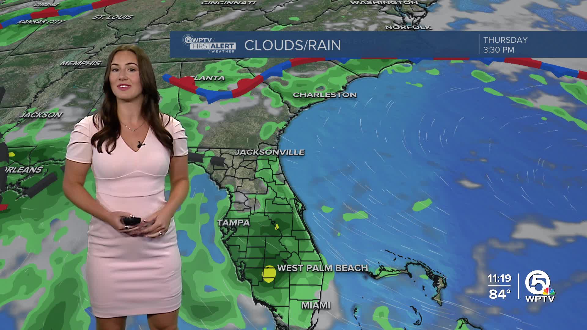
The southeast wind will pick up Thursday, shifting our rain chances to earlier in the morning and into the early afternoon. These will be faster-moving showers and storms, blowing in from the coast. This will also increase the rip current risk in our seas.
Highs will reach about 90.
MORE WEATHER: Radar | Alerts | 7-Day Forecast | Hourly Forecast
A plume of Saharan dust will enter the area come Thursday evening and help dry us out.

The dust combined with high pressure moving in, will help keep us drier through the weekend. Expect hazy sunshine with increasing temperatures. With highs in the 90s, we will likely be near heat advisory criteria this weekend.
TROPICS:
A weak low-pressure system has drifted over the state and into the Gulf. The National Hurricane Center has highlighted the northern Gulf for a low chance of development as it drifts westward towards Texas. By the weekend, the disturbance will move inland and end any chances for further development.

There is a tropical wave, just south of the Cabo Verde Islands, that we are also monitoring, but chances of development are minimal.


