

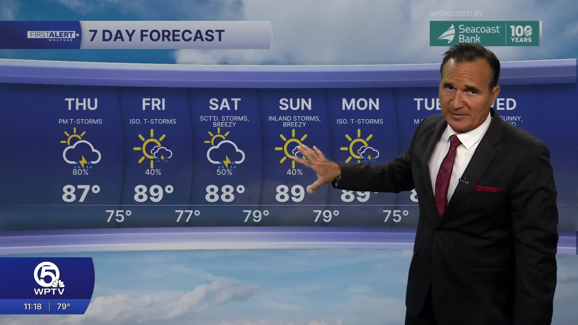


WEST PALM BEACH, Fla. — A wetter and windier pattern is settling in across the Treasure Coast and Palm Beaches, bringing an increased risk of heavy rain and localized street flooding.
A stalled frontal boundary is keeping deep tropical moisture locked in place, setting the stage for multiple rounds of showers and thunderstorms again on Thursday.
MORE WEATHER: Radar | Alerts | 7-Day Forecast | Hourly Forecast
Unsettled weather continues with frequent showers and thunderstorms. Heavy downpours remain the primary concern, and the threat of localized flooding persists, especially in urban and poor-drainage areas.
Beach conditions are becoming more hazardous as a developing northeast swell builds Atlantic seas to 3 to 5 feet offshore. The rip current risk is also increasing. The Palm Beaches face a moderate rip current risk today, with conditions potentially reaching high risk by Thursday.
If you're heading to the beach, swim near a lifeguard, leave the water when thunderstorms approach, and remember: if caught in a rip current, don't fight it. Float, then swim parallel to shore until you're out of the current. Palm Beach County also recommends checking beach flags and current conditions before entering the water.
Minor coastal flooding is also possible around high tides later this week and into the weekend as King Tides develop. Some waterfront roads and other low-lying coastal areas could see water encroach into normally dry locations during the highest tides.
Portions of this story were assisted by artificial intelligence tools and reviewed by WPTV journalists to ensure accuracy, clarity and adherence to editorial standards.


