


WEST PALM BEACH, Fla. — Warm and muggy this evening with overnight lows in the middle to upper 70s.
We will have some slight chances for rain this week.
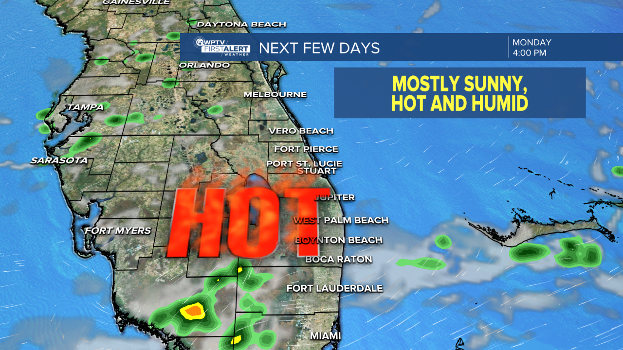
Another hot day outside Tuesday! Highs in the lower 90s again with heat indices near 108 in the afternoon.
MORE WEATHER: Radar | Alerts | 7-Day Forecast | Hourly Forecast
There is a heat advisory for the entire Treasure Coast and Okeechobee County on Tuesday from noon to 7 p.m.
Tuesday and Wednesday will be sunny, hot and humid with highs in the low to mid-90s. Expect a few showers and storms as the sea breeze moves inland in the afternoon.

An isolated storm can't be ruled out further inland, but it won't be too busy on the radar.
The high-pressure system continues to control our weather pattern on Wednesday. Mainly dry conditions, but an isolated inland storm can't be ruled out in the afternoon.
Thursday will be another hot and humid day with highs in the lower 90s. Heat indices will once again be brutal near 100-105. A few isolated storms are possible in the afternoon along the sea breeze.
Friday and into the weekend look to feature more showers and storms as a low-pressure system continues to sag towards Florida. Most of the storms will fire up in the afternoon and evenings. It will be more numerous come Sunday.


