


WEST PALM BEACH, Fla. — It will be a hazy, hot, and humid weekend for us!
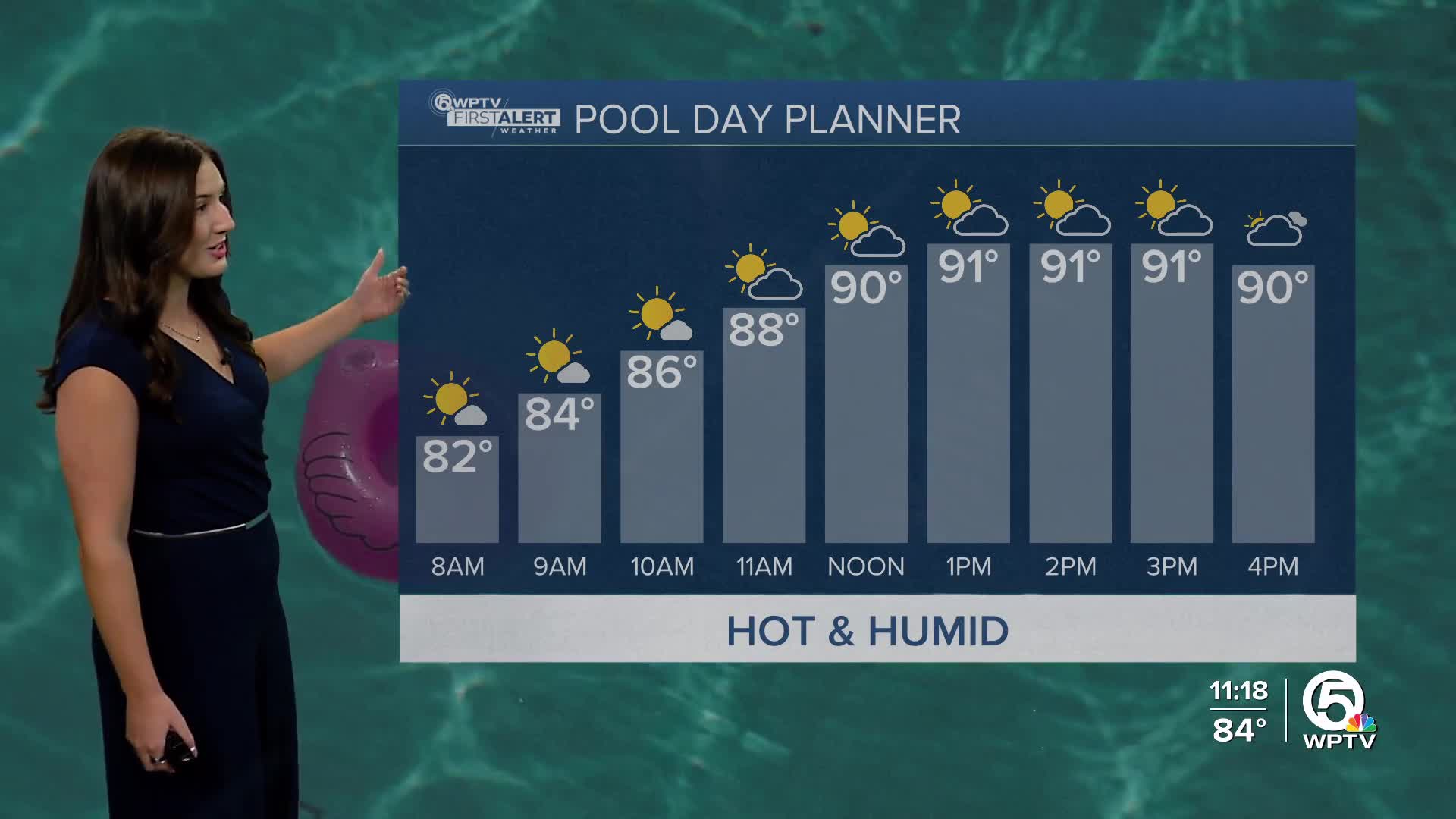
Sunday will be another extremely hot and humid day with highs in the lower 90s and heat indices in the triple digits. Saharan dust spread out over the area, will eliminate our rain chances again.
MORE WEATHER: Radar | Alerts | 7-Day Forecast | Hourly Forecast
The heat will be dangerous as heat indices will range from 100-105 for most locations. Okeechobee County has been placed under a heat advisory for Sunday from 12 p.m.-7 p.m due to heat indices up to 108. Try to limit your time outside and drink lots of water. The same advice should be taken for pets and livestock.
Come Monday, the weather pattern will still remain mainly quiet with highs in the lower 90s and mainly sunny skies. An isolated storm can't be ruled out along our sea breeze setup.
Tuesday will be similar with spotty storms possible as we lose the dust layer. Temperatures will get hot with highs into the low-mid 90s and heat index values pushing 105.
Rain chances start to ramp up as high pressure moves west allowing for a low pressure system to drop into the southeast. Look for a few more storms across the area come Thursday and Friday with highs in the lower 90s. It will not be a washout any day, but it will be more active on our radar.


